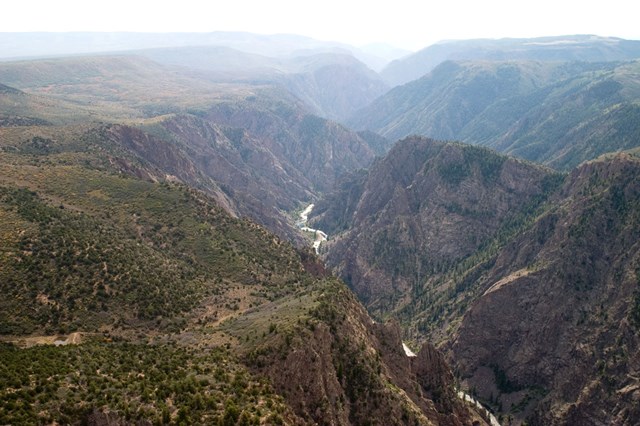
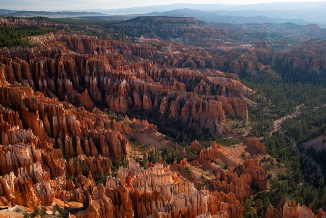
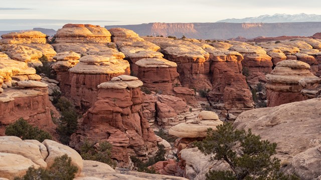
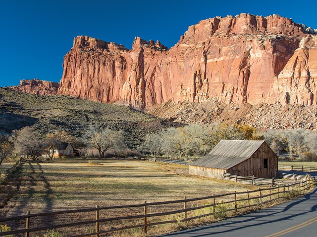
The best national park hike is not necessarily the longest line on a map. At the Grand Canyon, an easy rim walk and a descent into hotter country can begin a few steps apart. At Zion, the walk to a viewpoint and the exposed climb beyond it have different permit rules. At Olympic, you can leave a mossy rainforest in the morning and meet the Pacific coast later in the trip. The place matters; the particular route makes the day.
The Park Service lists 275 units with hiking, from short wildlife boardwalks to days of steep mountain travel. These ten are ranked for the range and quality of walking they offer, not for the bragging rights of one difficult summit. Choose a trail and a realistic turnaround before choosing a park hotel. Then check that park's current conditions, water, road access and permit boundaries. The right hike is the one your whole party can finish with enough daylight and energy to remember what they saw.
The ten best national parks for hiking
01Grand Canyon
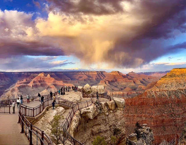
Grand Canyon fees, hours and alertsA South Rim walk at Grand Canyon can give you changing views without the commitment of a descent. Below the rim, every step down makes the climb back longer and usually hotter. The South Kaibab Trail is exposed and has no trail water; Bright Angel's developed water points require a current status check, not faith in a printed map. Make the return climb, not the descent, the basis of your turnaround. An hour downhill is not an hour uphill in canyon heat.
Floods, repairs and water outages can change access to inner-canyon routes, bridges and facilities. Read the park's current hiking messages just before a trip. Do not build a rim-to-rim or river loop from an older itinerary. A short descent to a sensible overlook and back is still a real canyon hike. Take more water than a casual rim stroll demands, carry a way to turn around, and leave the inner canyon to a day when route and conditions align.
02Zion
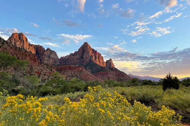
Zion fees, hours and alertsZion can offer a demanding canyon climb without making the Angels Landing chains the price of admission. The West Rim Trail reaches Scout Lookout before the exposed chain section; the latter requires an Angels Landing permit, while the approach to the lookout does not. A companion uneasy with heights can choose a strong viewpoint without feeling they failed the hike. Wet rock or thunderstorms are reasons to leave the chains alone even if you have permission.
The Narrows requires a separate decision. A bottom-up out-and-back walk through the river has different permit rules from a top-down trip from Chamberlain's Ranch. Water level and flash-flood forecast can close or make the route unsafe regardless of a permit. Check the exact version of the hike, shuttle access and current river conditions before selecting shoes or a starting hour. Zion's best day is not a combined checklist of its two famous trails; choose one and give it the attention it needs.
03Yosemite
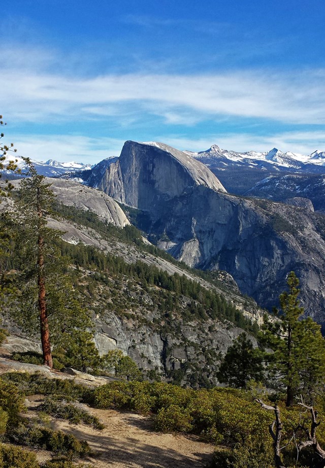
Yosemite fees, hours and alertsThe paths toward Vernal and Nevada Falls at Yosemite can make a fine full day without reaching the Half Dome cables. Spray, granite steps, river views and the climb out of Yosemite Valley build an experience in stages. Decide which waterfall or viewpoint suits the group and check seasonal footing before going. The falls can be rewarding even when another person's bucket-list summit is out of reach.
Half Dome belongs to a different plan: a long route with a large climb and a permit requirement when the cables are installed. The cable season depends on conditions, and an overnight wilderness trip has still another permit process. Do not let a beautiful photo turn a manageable waterfall walk into an unplanned summit attempt. Start early, set a turnaround and keep the falls as a destination in their own right. The valley gives you plenty without asking you to finish on top of a dome.
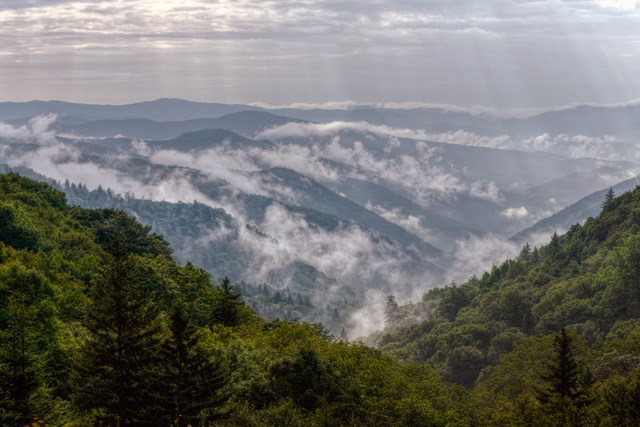
04Great Smoky Mountains
Great Smoky Mountains fees, hours and alertsAt Great Smoky Mountains, the Alum Cave Trail offers several natural stopping points. The walk moves from streamside forest through Arch Rock and toward the bluffs; continuing to Mount Le Conte turns it into a bigger mountain day. Choose the target before starting. That makes it easier to enjoy the changing forest without letting a famous summit pull the slowest person beyond a good return time.
The park's steep roads, shifting weather and occasional trail work mean the drive to the trailhead deserves as much care as the trail description. A well-known waterfall trail can be closed for rehabilitation, another reason to verify an actual route instead of following an old list of "easy Smokies hikes." Carry a map for the hollows and check the park's current road and trail notices. A shorter woodland walk can deliver the park's sound and shade better than a rushed climb to beat dusk.
05Acadia
Acadia fees, hours and alertsAt Acadia, mileage is a poor measure of effort. The Beehive and Precipice routes use iron rungs and exposed granite; a short ladder hike can feel more serious than a longer path along shore or through forest. Choose for footing, heights and the people with you, not the shortest distance on a map. Pets are not allowed on ladder routes, and a rain-slick rung is a good reason to use another trail.
Peregrine-nesting protections can change access to the Precipice route. Check the park's conditions and signs for whatever is open when you go. The coast, summits and carriage-road landscape offer many ways to spend a day without treating an iron-rung route as a test you must pass. The best view can be the one everybody reaches together.
06Olympic
Olympic fees, hours and alertsOlympic is a hiking park of radically different weather and scale. The Hoh Rain Forest's Hall of Mosses is a short walk among old trees and hanging green growth; coastal approaches can take you from forest boardwalk to open Pacific shore. An alpine outing elsewhere in the park asks for another layer of planning. You do not need to force rainforest, coast and mountain into one day to appreciate their contrast.
Choose one environment and its current access first. The park's day-hiking guide distinguishes short rainforest loops, lowland forests and coastal routes; a coastal approach may involve tides and long stretches away from a road. Rain that makes the Hoh beautiful can make footing slow, while a shore day has its own weather and tide limits. Pack for the place you are actually walking, not for the forecast at the hotel. Olympic rewards a traveler who leaves time for the forest to stop looking like one shade of green.
07Arches
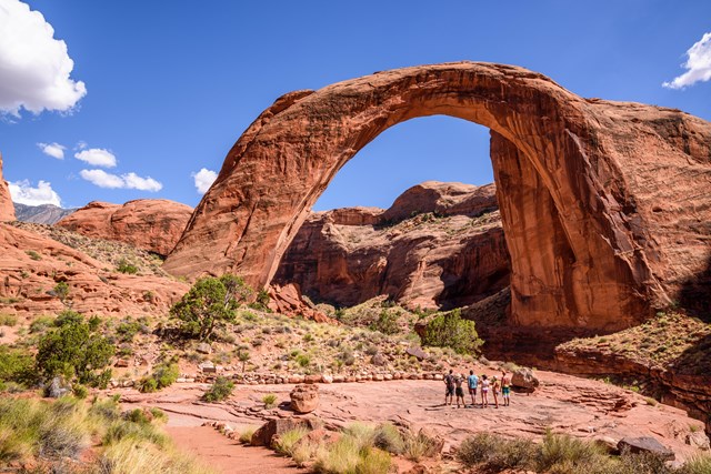
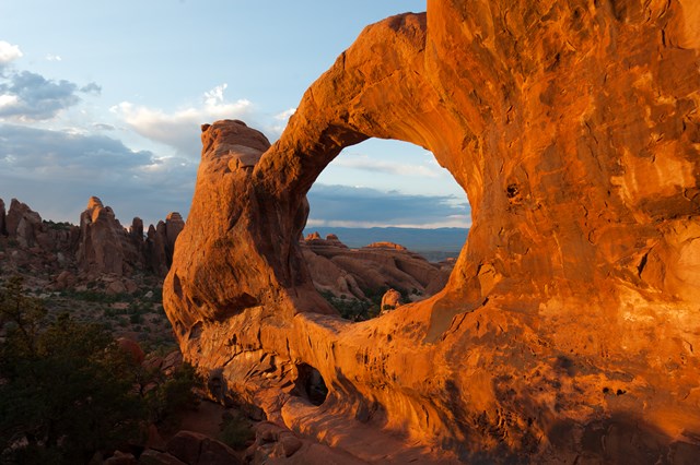
Arches fees, hours and alertsDevils Garden at Arches lets you choose how much adventure to take from one trailhead. The walk to Landscape Arch is a relatively approachable introduction to the fins and sandstone forms. Continue toward Double O and the Primitive Trail and the route becomes a more serious undertaking, with scrambling, narrow drop-offs and harder wayfinding. Decide where your day stops before you let one more arch lure you deeper in.
The trailhead is near the end of the park road, so the drive and parking need to be part of the plan. Start early in hot weather, carry water and avoid assuming that a park map's thin line describes easy footing. The rock fins are the attraction, but they also hide the return route when you leave the simplest section. Read the park's current Devils Garden guidance before choosing the primitive loop. Landscape Arch alone is a worthy trip, not a consolation for skipping the hard part.
08Yellowstone
Yellowstone fees, hours and alertsAt Yellowstone, a short walk through a thermal basin can show more geological action than many mountain miles. Boardwalks let you approach hot springs, mudpots and geysers while protecting thin crust and visitors from scalding ground. Stay on them. A plausible shortcut across the basin is dangerous and damages a living thermal landscape. This is a park where the constructed path is essential to the experience rather than a limitation on it.
For a longer day, choose a separate backcountry trail and check its bear-country, closure and water guidance. Thermal areas change, and so do current trail conditions; last year's photos are poor instructions. Give a geyser basin time to be read slowly before chasing another viewpoint across the park. The walk may be short, but the ground underneath it has enough going on to occupy a morning.
09Sequoia and Kings Canyon
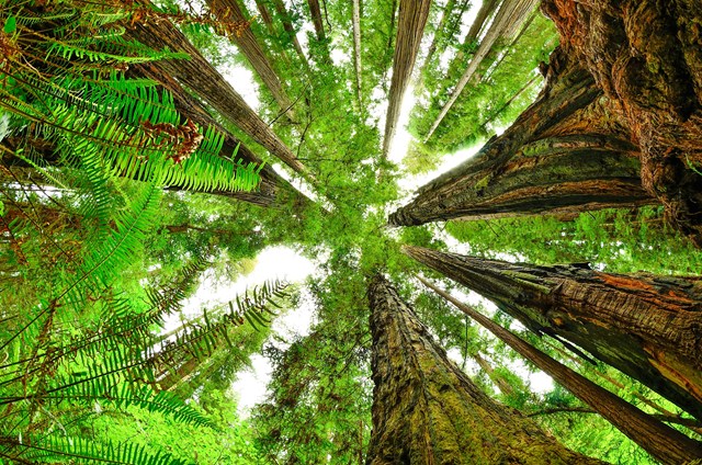
Sequoia and Kings Canyon fees, hours and alertsThe Giant Forest at Sequoia and Kings Canyon is a reminder that an easy-seeming walk can be the whole point. Congress Trail leads among giant sequoias beyond the crowds nearest the General Sherman Tree. The trees change as you move around them; a trunk that fills a camera frame from one side opens to a wider grove from another. Spend the time on foot instead of treating the famous tree as a roadside photo stop.
Trail repair can change the familiar Congress loop into a different walk. Check the current route and access before going. If you want a longer day, the Giant Forest and Lodgepole area has other trails, but do not bolt miles onto a family outing without looking at elevation and conditions. Big trees reward a slow pace. The park may ask you to take a different path to protect both people and the trail.
10Everglades
Everglades fees, hours and alertsEverglades makes a case for the modest walk. The Anhinga Trail winds through sawgrass marsh and offers chances to see alligators, turtles, wading birds and the anhingas that give it a name. Wildlife is more visible in some seasons, but nothing on the boardwalk owes you an appearance. Stand still for a while. A short distance can hold far more observation than a hurried series of stops.
Keep to the trail, give animals space and prepare for heat, sun and insects. This is not the place to leave a marked path for a better photograph. The Everglades' scale is difficult to grasp from a windshield; a slow marsh walk can reveal the movement of water and animals in a landscape that at first looks flat. Make the trail a start to understanding the park rather than a box checked before a long drive elsewhere.

When to go: a hiking year in four moves
Spring rewards lower trails and caution higher up. A desert or coastal outing can be comfortable while snow still holds on a mountain route. Waterfalls gain force, but river crossings and wet rock become more consequential. Check the exact trail and road, not just the park's opening date. A lower loop that is ready now beats a high pass that is only ready in a photograph from another month.
Summer asks for earlier starts and better water planning. The Grand Canyon's inner routes and Arches sandstone grow hot, while exposed Zion rock can be poor in a thunderstorm. Some alpine roads and trails become accessible, but popular trailheads fill. Set a turnaround for the heat and weakest walker, carry enough water and know whether a seasonal shuttle changes the start or finish.
Fall can offer the best walking light, with less daylight to spend. An Acadia shore trail or a Smokies ridge may feel more comfortable than in midsummer. Seasonal services, ferry routes and high-country access can contract. Do not let good weather erase the time needed for a return. Confirm current trail conditions, then select a route you can finish without racing darkness.
Winter shifts the map toward lower, open routes. Everglades wildlife walks can shine while northern high-country trails are snowbound. A summer trailhead sign does not tell you whether the road is plowed. Choose the day's accessible landscape and equip yourself for its actual conditions. A short winter path can be more memorable than an ambitious route forced into the wrong season.
How to choose a hike that fits
- 1
Name the trail and turnaround. "Hike at Yosemite" is not a plan. Write down the start, destination, ascent, return and what changes if the party tires early. Grand Canyon's uphill exit is the clearest reminder that outbound speed can mislead.
- 2
Check the current park notice. Flood, fire, trail repair, wildlife protection and a closed road can override an evergreen guide. Read the specific park's alert and posted signs just before travel. A trail that closed for nesting last season may have reopened; do not rely on an old notice.
- 3
Find the permit line. Scout Lookout and the Angels Landing chains have different rules. Yosemite's falls and Half Dome cables do too. A nearby viewpoint can be a complete hike when the permitted section is unavailable or wrong for the group.
- 4
Treat water and weather as changeable. A tap on a map may be off; a river in Zion can rise; mist on granite can make footing slick. Carry what your route requires and a map that works without service. Weather at a rim, shore or trailhead may not describe conditions farther down or up.
- 5
Let the slowest person set the return. Agree on a turnaround time and signs that end the outbound hike. A child who enjoyed a short Everglades walk or a companion who stopped before an exposed ladder did not miss the park. Finishing well is part of seeing it.
A short history of walking in the parks
People walked these landscapes long before national parks existed. Indigenous routes connected homes, trading places and places of work and ceremony; later visitors did not discover empty country simply by naming a trail. As recreation grew, tourist paths acquired their own purposes. Yosemite Valley had a network of visitor trails by the mid-19th century. At the Grand Canyon, Bright Angel began as a private toll trail; the railroad brought more travelers to it. Paths carried visitors into a landscape, but also reflected who could pay, travel and decide where a route would go.
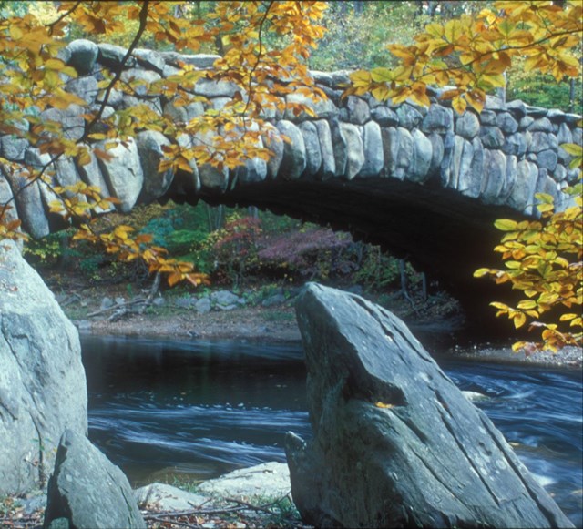
In the early 20th century, hotel operators built trails to connect Glacier's backcountry chalets. Then park planners began shaping whole networks of footpaths, horse trails, roads and facilities rather than treating each trail as a separate line. Civilian Conservation Corps crews in the 1930s helped build many of the routes visitors still follow. Their bridges, steps and retaining walls were meant to use local materials and sit lightly in the landscape. A trail can look natural enough to hide the work and decisions that made it possible.
Today paths also protect places from the crowds they invite. A Yellowstone boardwalk keeps feet away from fragile thermal crust and dangerous hot water. At Sequoia, a walk beyond the Sherman Tree gives a grove room to become a forest rather than a landmark in isolation. Routes, access rules and closures keep changing. The enduring part is the bargain: walk into a place attentively, stay within what the ground and the day allow, and leave it possible for someone else to do the same.
All 275 parks with hiking
Below are Park Service units that list hiking. Use a park's current trail map, alerts and permit information to choose the actual route; a listing does not promise every trail is open today.
Free to enter Charges an entrance feePoints are the Park Service reference point for each unit, not a boundary.