Ice Age National Scenic Trail
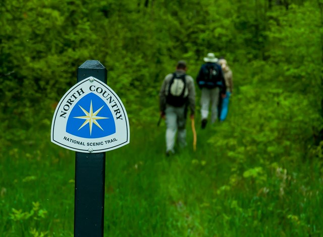
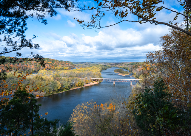
The Ice Age National Scenic Trail spans 1,200 miles, traverses some of Wisconsin's finest geologic and glacial features, and passes through the ancestral lands of 15 Tribes. The Trail is built, managed and maintained by dedicated volunteers, Ice Age Trail Alliance, Wisconsin Department of Natural Resources, local partners, and the National Park Service.
Alerts
- CautionNPS ↗Use Caution — Skunk and Foster Lakes Segment
Logging operations are occurring in the Skunk and Foster Lakes State Natural Area on the west side of North Foley Rd. Heavy machinery may be present. For maps and additional details from the Ice Age Trail Alliance, follow the link below:
- CautionNPS ↗Use Caution — Sand Creek Segment
Logging is occurring near the eastern end of the Sand Creek Segment from approximately 1.7 miles west of 30th Ave. to 0.8 miles west of 30th Ave. The Trail is adjacent to active logging and enters the logging area in several spots. Trucks may use the logging road, and conditions may be wet and rutted. Heavy machinery may be present. Remain on the Trail and keep dogs leashed.
- CautionNPS ↗Use Caution — Summit Moraine Segment
A timber harvest is under way east of STH‑45 for approximately one mile. Work may continue through mid‑October. Heavy machinery may be present, and conditions may vary. Remain on the Trail and keep dogs leashed. For maps and additional details from the Ice Age Trail Alliance, follow the link below:
- CautionNPS ↗Use Caution — Milwaukee River Segment
Logging operations are occurring along a 0.3‑mile section of the Trail about 0.2 miles north of Hwy 28. Work may continue into winter. Heavy machinery may be present. Use caution. For maps and additional details from the Ice Age Trail Alliance, follow the link below:
- CautionNPS ↗Use Caution — Devil's Lake Segment
Hwy 113 is undergoing a repaving project. The Ice Age Trail remains open, but the Hwy 113 crossing will be temporarily closed during paving work. Expect construction vehicles and limited parking access between CTH‑DL (north side) and Solum Ln. The project is anticipated to continue through mid‑November. For maps and additional details from the Ice Age Trail Alliance, follow the link below:
- CautionNPS ↗Use Caution — Tisch Mills Segment
Flooding may occur between Mill Rd. and Nuclear Rd., especially in spring or after heavy rain. A bypass is available via CTH‑B between CTH‑BB and Nuclear Rd. For maps and additional details from the Ice Age Trail Alliance, follow the link below:
- InformationNPS ↗Pike Lake Segment — Limited Parking at Pike Lake Beach
Construction on the Pike Lake Beach parking lot begins September 29 and continues through early November. Parking will be limited, with about 50 stalls remaining open; expect reduced capacity on weekends. The segment remains open. For maps and additional details from the Ice Age Trail Alliance, follow the link below:
- InformationNPS ↗Reroute in Effect — Sand Creek Segment
A 0.6‑mile section on the western side of the Sand Creek Segment is closed October 15–December 1 for private hunting. Follow posted reroute directions to bypass this area. The 3.9‑mile bypass route replaces 2.4 miles of Ice Age Trail/connecting route. For maps and additional details from the Ice Age Trail Alliance, follow the link below:
- InformationNPS ↗Reroute in Effect — Averill‑Kelly Creek Wilderness Segment
A one‑mile section on the eastern side of the Averill‑Kelly Creek Segment is closed October 15–December 31 for private hunting. Follow posted reroute directions. The entire segment is also closed during the 9‑day gun deer season. For maps and additional details from the Ice Age Trail Alliance, follow the link below:
- InformationNPS ↗Reroute in Effect — Baraboo Segment
The Ice Age Trail is closed along Effinger Rd for repaving. Follow the posted detour, which directs hikers south from STH‑113 (Water St) on a paved path, then along Mill Race Dr to Manchester St. The closure is anticipated to last until October. For maps and additional details from the Ice Age Trail Alliance, follow the link below:
- InformationNPS ↗Reroute in Effect — Montello Segment
A portion of the Ice Age Trail and the Krakow Park parking area on the north side of the lock channel below the Montello Dam are closed during reconstruction through June 2027. Eastbound hikers should bypass the closure via the mulched path from the boat launch, then follow the dirt driveway, pass through the adjacent parking area, and turn south on Main St (Hwy 22).
- InformationNPS ↗Reroute in Effect — Skunk and Foster Lakes Segment
A reroute is in effect between Indian Valley Rd and Grenlie Rd from September 1, 2026 to January 5, 2027 due to private hunting. Bypass the closure by heading southwest, then south on N Foley Rd, and turning east on Grenlie Rd. The section between Grenlie Rd and Rieben Rd is also closed during the 9‑day gun deer season.
- InformationNPS ↗Reroute in Effect — Thornapple Creek Segment
The first 0.4 miles east of Thornapple Creek Rd are closed September 1–December 31 for private hunting. Bypass the closure by heading west, then south on Thornapple Creek Rd, and turning east on Gold Dust Rd. For maps and additional details from the Ice Age Trail Alliance, follow the link below:
- InformationNPS ↗Reroute in Effect — Algoma Connecting Route Segment
A reroute is in effect on the connecting route south of Algoma. The bridge over Three Mile Creek on Longfellow Rd is closed to all travel. Bypass this closure via 9th Rd and STH‑42; note that the 10th Rd bridge is also closed. This 2.7‑mile alternate route replaces 2.8 miles of connecting route. For maps and additional details from the Ice Age Trail Alliance, follow the link below:
- InformationNPS ↗Reroute in Effect — Sturgeon Bay Segment
A 0.1‑mile section of the Ice Age Trail between S Neenah Ave and W Yew St is closed indefinitely. Bypass this closure via S Neenah Ave and W Yew St. This 0.5‑mile alternate route replaces 0.5 miles of Ice Age Trail. For maps and additional details from the Ice Age Trail Alliance, follow the link below:
- InformationNPS ↗Reroute in Effect — Monticello Segment
The Stewart Tunnel is closed indefinitely pending reconstruction. The Ice Age Trail is closed at both intersections of Tunnel Rd. Follow Tunnel Rd to bypass the closure and remain on the designated alternate route. For maps and additional details from the Ice Age Trail Alliance, follow the link below:
- InformationNPS ↗Reroute in Effect — Hartman Creek Segment
A reroute is in effect between the Emmons Creek Fishery Area and Hartman Creek State Park due to forestry operations. Follow posted signage to remain on the designated reroute. For maps and additional details from the Ice Age Trail Alliance, follow the link below:
Fees & passes
Free. No entrance fee here.
Using the Ice Age National Scenic Trail is free of charge. However, visitors should note that some public lands, including state and county parks located along the trail, may charge entrance fees. Camping registration, permits, and fees might also be required. Check with local land managers before your visit to learn about any potential fees and registration requirements.
Hours
| Trail | Daily · All Day |
| National Park Service Office | Varies by day ▾
|
National Park Service Office: hours by date. Standard hours apply on every date not listed.
| Dates | Hours |
|---|---|
| Standard hoursNow |
|
| Nov 11, 2026Closed Veterans Day | Hours not published |
| Nov 11, 2026Veterans Day |
|
| Nov 11, 2026Veterans Day Holiday Closure | Closed |
| Nov 26, 2026Closed Thanksgiving Day | Hours not published |
| Nov 26, 2026Thanksgiving Holiday Closure | Closed |
| Dec 25, 2026Closed Christmas Day | Hours not published |
| Dec 25, 2026Christmas Holiday Closure | Closed |
| Jan 1, 2027New Years Day | Closed |
| Jan 1, 2027Closed New Year's Day | Hours not published |
| Jan 18, 2027Closed MLK Day | Hours not published |
| May 29, 2027Memorial Day Holiday Closure | Closed |
| Oct 12, 2027Columbus Day Holiday Closure | Closed |
When to go
July draws the most visits here and February the fewest, averaged over 2024 to 2025.
No campgrounds, no webcams, no things to do or events in Park Service data. What is here comes from the official page. The rest lives there.
Checked nightly. Modules appear as soon as the Park Service publishes the data.
Explore
Films
National Park Service productions, public domain.
Map
Interactive map by the National Park Service
Public land nearby
Distances are approximate. Wilderness Atlas publishes a center point and an acreage for each area rather than a boundary, so each area is treated here as a circle of the same size and the figure is the gap to that circle.
Guidebooks for Ice Age National Scenic Trail and Wisconsin
We earn a small commission if you buy through these links. It does not change what we list.
Titles come from Open Library's catalog, matched by subject.
Reference
Activities
Activity guides for this park Birdwatching in the national parks · Camping in the national parks · Fishing in the national parks · Hiking in the national parks · Skiing in the national parks · Wildlife watching in the national parks
Questions people ask
Does Ice Age charge an entrance fee?
No. Ice Age is free to enter.
Source: National Park Service
Is Ice Age open year-round?
Yes. The grounds are open 24 hours a day, year-round.
Source: National Park Service
Is anything closed at Ice Age right now?
17 active alerts as of October 14, 2026: Use Caution — Skunk and Foster Lakes Segment; Use Caution — Sand Creek Segment; and more.
Source: Alerts
How busy is Ice Age?
29,125 recreation visits in 2025, number 304 of 387 units that report visitation.
Source: Most visited parks
Follow this park
- Alerts feed (RSS)
- Every active Park Service alert for this unit, one item each, rebuilt with the nightly data refresh.
- Add dates to your calendar (.ics file)
- Fee-free entrance days that apply here and each published hours exception, as all-day events.