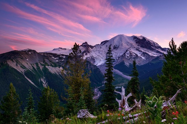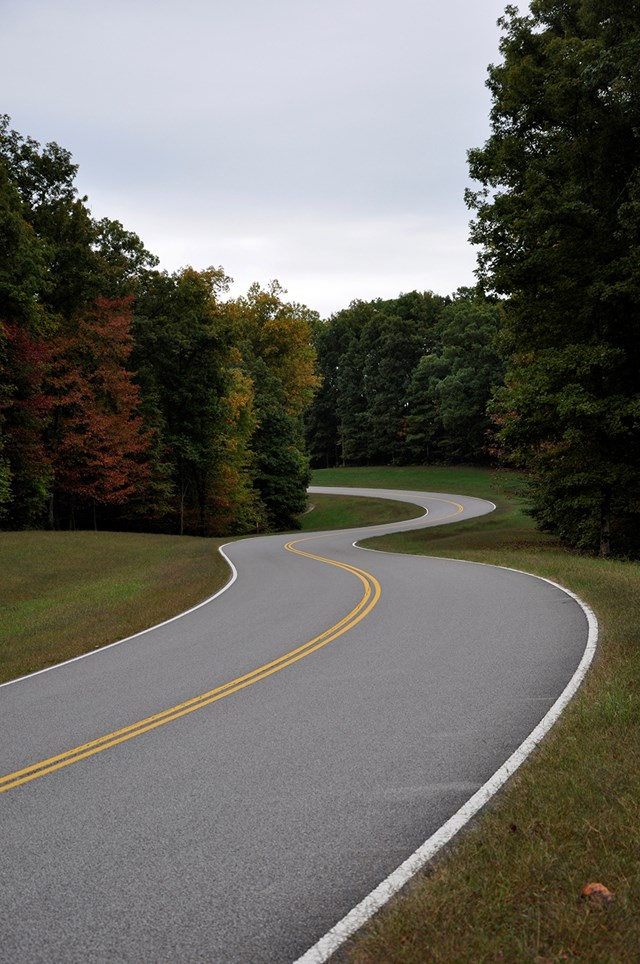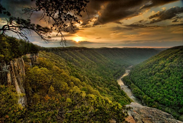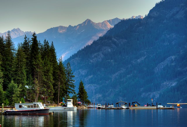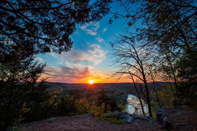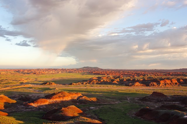
Driving and ATV riding in the parks cover different kinds of trip. An ATV can travel a designated trail in an Alaska preserve, while a road-registered truck can drive a Texas beach and an ordinary car can follow numbered battlefield stops. The first question is not which park has the best drive. It is what sort of vehicle the park actually lets you bring.
The Park Service lists 101 units with driving or ATV riding. The ten below rank the experience and the usefulness of the route, not a mythical universal off-road permit. A few genuinely allow utility ATVs; many ban them outright. Beach permits, tides, timed-entry windows and dirt-road conditions all change the trip. Pick the type of drive first, then read the park's current rule for that vehicle and date. Your car's capabilities and its legal registration are different questions.
The ten best parks for driving and ATV riding
01Padre Island
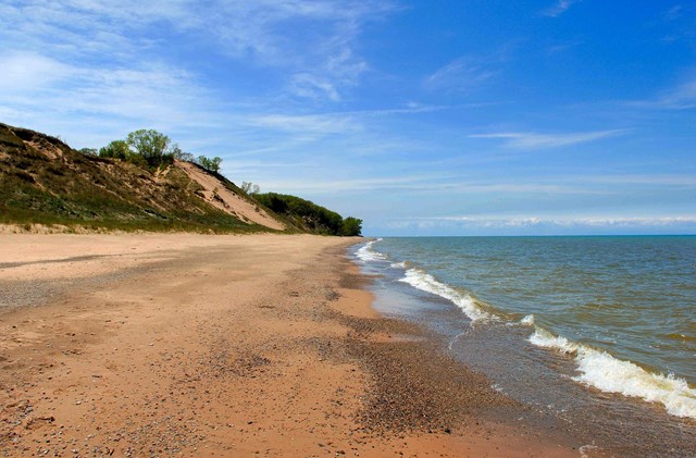
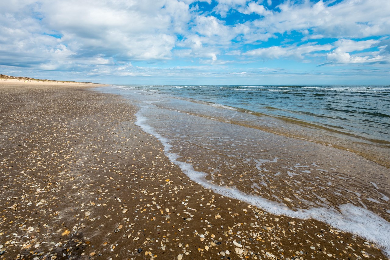
Padre Island fees, hours and alertsSouth Beach is a road until the sand reminds you it is a beach. Padre Island's NPS page says Texas beaches are public highways, with ordinary traffic laws and highway registration and plates required. An off-highway plate alone does not qualify, and unregistered ATVs, UTVs, golf carts and dune buggies cannot operate here. Two-wheel drive is allowed on North Beach and only the first five miles of South Beach; the farther-down-island destinations, including Little Shell and Big Shell, are beyond that allowance. Four-wheel drive is recommended even where 2WD is legal because conditions change. Watch tides and nesting-season closures before driving. The remoteness is the attraction, but a street-legal plate is not a substitute for recovery gear or judgment.
02Mojave
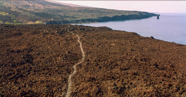
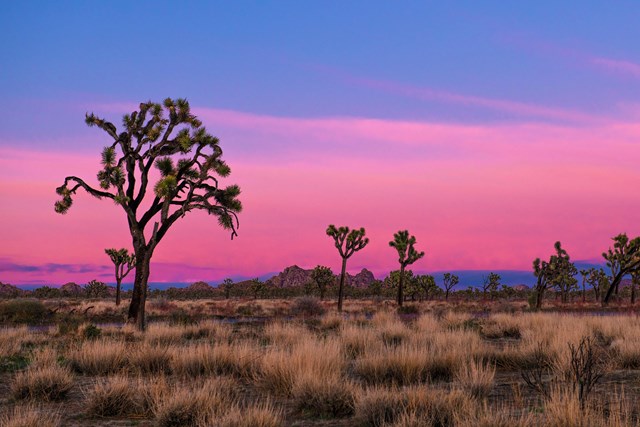
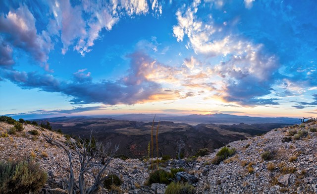
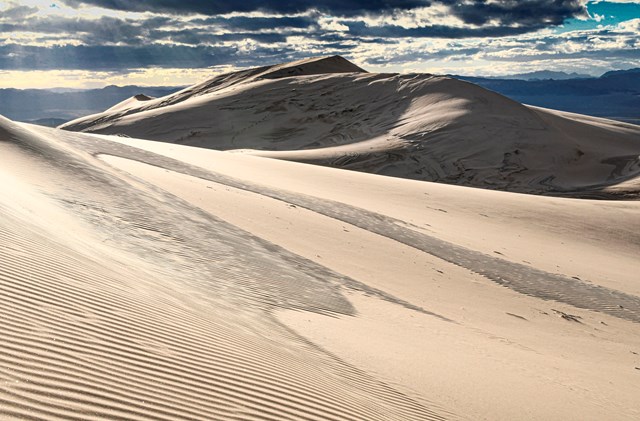
Mojave fees, hours and alertsThe Mojave Road crosses desert country along a route used by Indigenous traders before settlers and military travelers followed it. The NPS describes a roughly 150-mile journey and recommends about three days to drive its full length. This is a prepared 4WD trip on open existing roads, not permission to improvise tracks across the desert. The park's road-condition page calls for high clearance, heavy-duty tires and low-range four-wheel drive on the Mojave Road; an all-wheel-drive crossover is not a substitute. ATVs, RZRs and UTVs are prohibited inside the preserve even if they are welcome on nearby BLM land. Check water, road conditions, fuel and your vehicle's street-legal paperwork before leaving pavement.
03Cape Hatteras
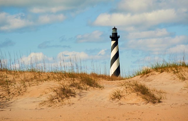
Cape Hatteras fees, hours and alertsAt Cape Hatteras, the vehicle can take you to a stretch of Outer Banks beach that a parking lot cannot. Beach driving needs the seashore's own off-road vehicle permit, not a general federal pass. The current NPS fee page lists a ten-consecutive-day permit for $50 and an annual permit for $120; the seashore charges no general entrance fee. A permit is still not a promise that a particular stretch will be open. Tides and wildlife protections can move the usable corridor, so check the current access map before loading fishing or camping gear. This is an ORV beach, not a free-for-all ATV playground.
04Glacier Bay National Preserve
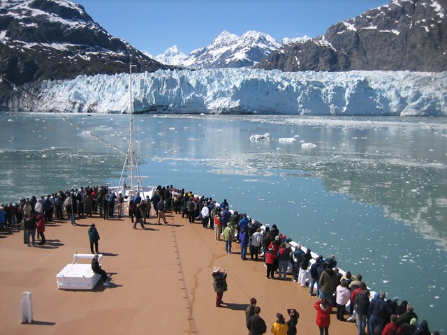
Glacier Bay fees, hours and alertsThe Dry Bay section of Glacier Bay National Preserve is one of the few entries where 'ATV' really means an ATV. The NPS allows ATVs and other vehicles on 60 miles of designated trails; travel off those routes is prohibited. This is a remote Alaska expedition, not a trailhead with rentals. Access involves an approximately 50-mile air-taxi flight from Yakutat, with no scheduled flights and no vehicle rentals in the preserve. Water levels can temporarily make trails impassable, while some route alignments respond to river flow and nesting birds. Coordinate transport and equipment before calling it a riding trip. The boundary between a national park and its preserve matters here.
05Cape Lookout
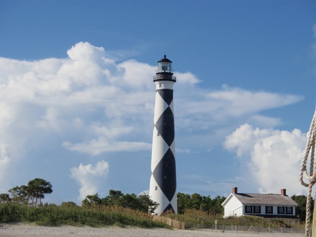
Cape Lookout fees, hours and alertsCape Lookout's Core Banks offer the other strong ATV exception. The park permits utility ATVs, not sport models, on North and South Core Banks' designated trails and open oceanside beach seaward of the dunes to the tide line. Drivers must be at least 16 and hold a valid license. Nesting bird and turtle closures are off limits, and posted speeds still apply. If an ATV is left for 24 hours or more, the park requires a designated parking area and displayed permit. This is access for camping, fishing or shelling, not racing or jumping. Read both the NPS rules and current wildlife zones before arranging a crossing to the islands.
06Cape Cod
Cape Cod fees, hours and alertsThe Cape Cod oversand corridor is a permit-and-inspection exercise, and that makes it a trip to plan before you arrive at Race Point. For the 2026 season, the NPS offers annual ORV applications by mail or in person, but seven-day permits are in person only. Vehicles must meet equipment rules and pass inspection at the Oversand Permit Station, open seasonally April 10 to November 15. The current page lists $150 for an annual ORV permit and $50 for seven days. Shorebird nesting can shrink the open corridor, especially in June and July, and permits are not refunded because a corridor closes. Buy for the access available, not just the date printed on the pass.
07Assateague Island
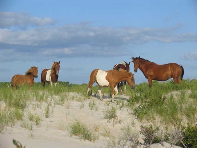
Assateague Island fees, hours and alertsAssateague's NPS maps distinguish oversand vehicle zones in Maryland and Virginia. That matters more than the broad promise of 'beach driving': a vehicle must be in an open, designated zone and meet the district's current rules. The sea and the animals can redraw the practical trip, so inspect the park's current OSV maps and conditions before deciding which end of the island to approach. This is a choice for a prepared oversand driver who wants a long seashore day, not for someone hoping that any sand visible from the road is fair game. A marked zone is the route; dunes are not.
08Rocky Mountain
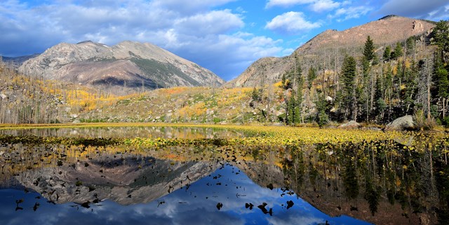
Rocky Mountain fees, hours and alertsTrail Ridge Road makes the vehicle a way into alpine country, but Rocky Mountain's 2026 access rules make timing part of the itinerary. The NPS requires a Timed Entry reservation for most of the park from 9 a.m. to 2 p.m. daily from May 22 through October 12. The Timed Entry+ Bear Lake Road option covers that corridor from 5 a.m. to 6 p.m. through October 18. The park lists a nonrefundable $2 Recreation.gov processing fee per reservation, with some tickets released at 7 p.m. Mountain time the evening before. Arriving outside a reservation window may let you drive most areas, but Bear Lake has its own longer hours. Check the park's current page before choosing a sunrise workaround.
09Glacier
Glacier fees, hours and alertsGoing-to-the-Sun Road is often confused with a vehicle reservation rule that no longer applies this year. Glacier's live NPS page says no vehicle reservations are required anywhere in the park in 2026, including the Sun Road. During July 1 to September 7, however, Logan Pass private-vehicle parking was limited to three hours with a free timestamped dashboard permit. A separate ticketed shuttle served the pass over that same period; a shuttle ticket was not a road-entry reservation. Check road openings and congestion alerts for the date you actually travel. This is the example that proves last summer's driving advice can become wrong while the road stays the same.
10Shiloh
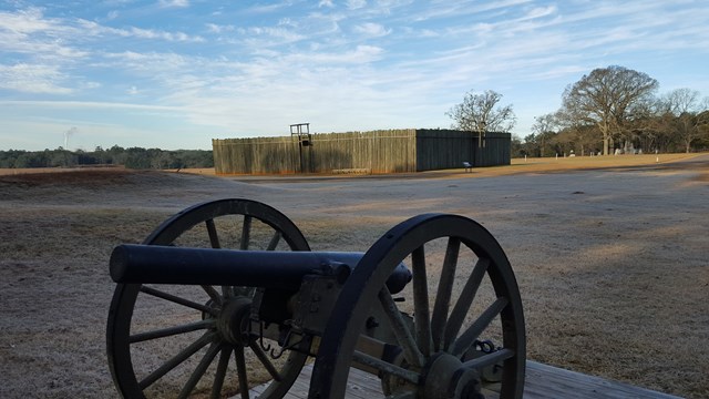
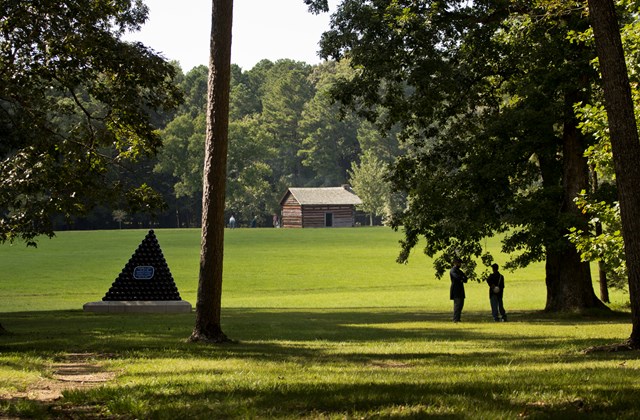
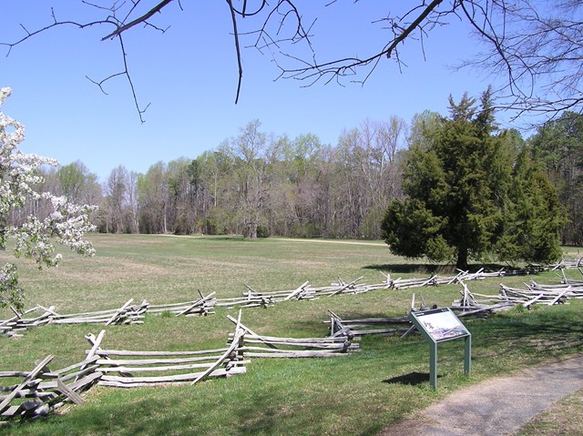
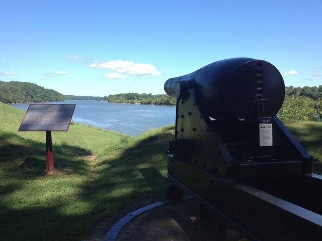
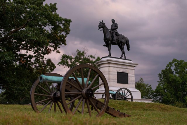
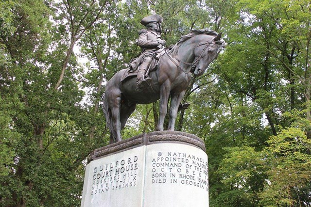
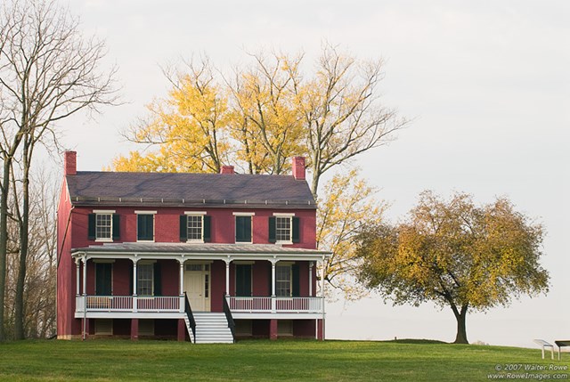
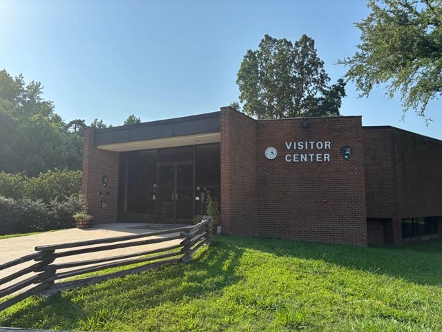
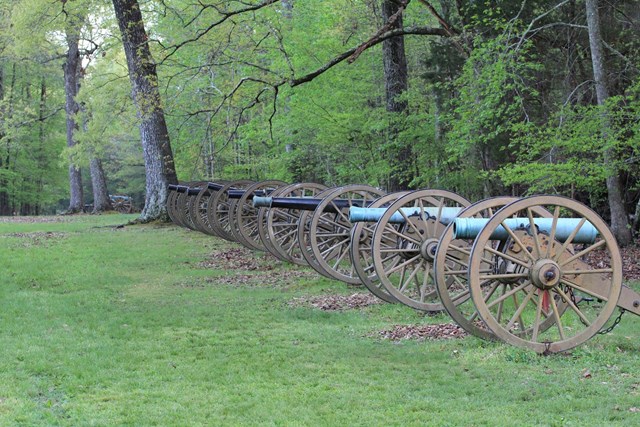
Shiloh fees, hours and alertsAt Shiloh the vehicle is a reading aid, not a recreational machine. The NPS describes a 12.7-mile, 22-stop self-guided battlefield auto tour that connects places such as the Peach Orchard and Hornets' Nest. Get the map at the visitor center or its parking-lot kiosk after hours, and use the NPS app's audio tour if you want an explanation between stops. There is no reason to bring an ATV or lower tire pressure. Leave enough time to get out of the car at the numbered pull-offs; a battlefield toured without stopping is a road trip through names, not a sense of where the battle unfolded.

When to go: plan around the route
Spring. Beach corridors may change as protected birds begin nesting. Cape Cod's 2026 permit station opens in April, but a purchased permit does not open a closed segment. Padre Island's sand and tides also require a same-day check.
Summer. Rocky Mountain's timed entry and Glacier's 2026 Logan Pass rules are different systems. One may require a park access reservation while the other does not. High water can cut off Dry Bay trails, and desert heat makes Mojave's remote routes less forgiving.
Fall. Rocky Mountain's 2026 reservation periods extend into October, with a longer window for Bear Lake Road. Cape Cod's permit station operates into November, subject to the park's seasonal timetable. A beach or mountain road can still close on conditions before its calendar date.
Winter. A paved battlefield tour such as Shiloh may be more practical than a remote road, depending on local conditions and daylight. Mojave can still bring washouts, snow or mud on its high-country routes. Check the live road status, not the climate summary.
How to choose the right drive
- 1
Check the vehicle class first. Glacier Bay Preserve permits ATVs on designated trails; Cape Lookout permits utility ATVs under narrow rules. Padre and Mojave prohibit the typical unregistered ATV. The category name gives no permission.
- 2
Match the road to the equipment. Mojave's route conditions call for high-clearance, low-range 4WD. Padre's first five South Beach miles allow 2WD, but that does not make the farther beach safe for it.
- 3
Get the right park's paperwork. Hatteras, Cape Cod and Assateague each have separate beach access rules. Rocky Mountain uses timed entry. Check Glacier’s current vehicle-reservation and parking rules before travel.
- 4
Read today's closures. Tides, nesting birds, fires, flooding and snow can undo a permitted route. A paid permit or a saved map does not override a posted closure.
- 5
Leave the route intact. At Mojave, off-pavement driving stays on open roads; at Cape Lookout, the dunes and protected nesting zones are out. Tracks can last much longer than the drive.
A brief history of the roads
The Mojave Road was a travel and trade route before it became a 4WD itinerary. The NPS describes Indigenous people moving goods along it to coastal trading partners, with later settlers and military travelers using the same water-linked corridor. Today's vehicle follows that inherited line through a landscape where new tracks can damage plants and burrows. It is a road with history, not an invitation to make another one.
The paved auto tour uses a different idea: stop in sequence to read a battlefield. Shiloh's 22 stops turn 12.7 miles into an interpretation rather than a commute. Rocky Mountain shows the contemporary pressure on another kind of road. After pilot timed-entry systems in 2020-23, the park finalized a day-use access plan in 2024 to manage crowding and protect the visit.
Those histories do not add up to one driving rule. They explain why a park drive needs more than a map pin: a route can be a historic corridor, a fragile habitat, a shared beach highway or a road with too many visitors trying to arrive at noon.
All 101 parks with auto and ATV
Below are Park Service units that list driving or ATV riding. Open the park page for trip basics, then use its current NPS vehicle, permit and road-condition guidance before deciding what you can drive there.
Free to enter Charges an entrance feePoints are the Park Service reference point for each unit, not a boundary.