Some roads are attractions; others are simply how you reach the attraction. The distinction disappears when a road follows a mountain crest, cuts across a desert wash, or makes the next pullout impossible to skip. The Park Service lists 92 units with scenic driving, though road access depends on the vehicle, season and conditions.
The ten routes below span a 469-mile parkway and a short mountain climb, paved mesa loops and a sometimes interrupted historic connector. They are worth choosing by the time you have, the vehicle you brought and the conditions on the date you go. Every drive has a named NPS route behind it. The full Park Service list is below the guide.
Ten drives worth building a day around
01Blue Ridge Parkway: 469 miles, best in pieces
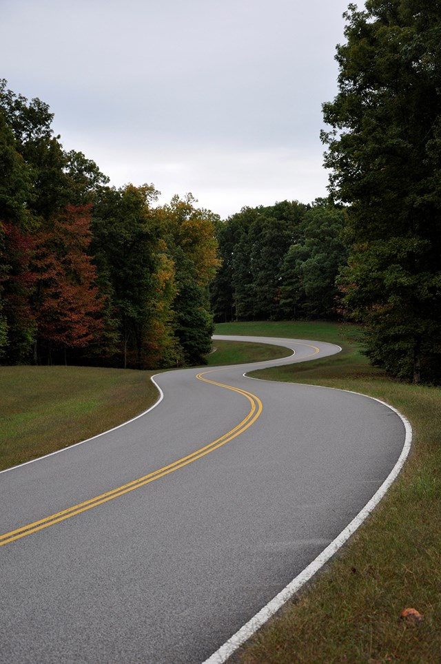
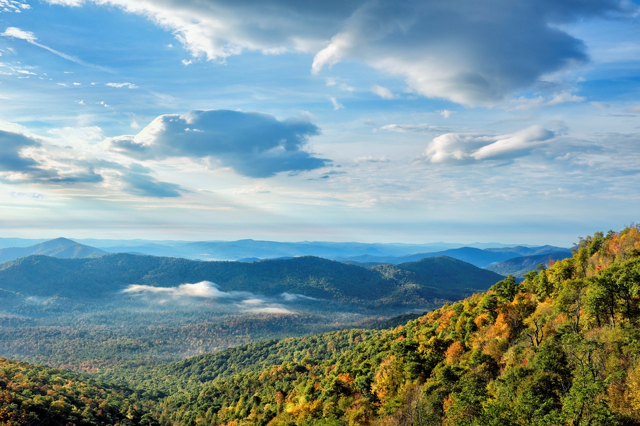
Blue Ridge Parkway fees, hours and alertsThe Blue Ridge Parkway joins Shenandoah and Great Smoky Mountains across 469 miles of Virginia and North Carolina. NPS's most useful rule of thumb: 30 miles usually takes about an hour *without* the view stops, slower in weather or traffic. The posted maximum is 45 mph and often lower. A full transit is a trip, not an afternoon errand.
Choose an entrance and exit on NPS's parkway map and build a loop using adjacent highways; the agency explicitly recommends that approach for shorter visits. Mileposts organize overlooks, lodging and detours. There are no gas stations *on* the parkway, though there are stations off it at access roads. If you have a motor home, check tunnel clearance on your proposed segment. Before setting out, inspect the park's milepost road-status table: storms, landslides and construction can break the continuous route. The table fetched for this guide was last updated June 9, 2026, despite the later research date, so it cannot certify what is open today.
02Skyline Drive: a ridge with four entrances
Shenandoah National Park fees, hours and alertsShenandoah's 105-mile Skyline Drive is the only public road through the park. NPS estimates about three hours end to end on a clear day, before stops. The four vehicle entrances are Front Royal at mile 0, Thornton Gap at 31.5, Swift Run Gap at 65.5 and Rockfish Gap at 104.6. That geometry lets you choose a manageable section rather than overshooting a planned exit.
Big Meadows sits around mile 51, a helpful midpoint landmark. The limit is 35 mph in most places, and deer, turkeys and bears can cross without warning. Pull fully off the road to view wildlife; do not turn an active lane into an overlook. Check Skyline Drive's status before committing, especially when ice or fog is possible. At Rockfish Gap, the Blue Ridge Parkway begins, but that does not mean its next segment is open. For a large RV, Marys Rock Tunnel near mile 32.2 has a 12-foot-8-inch clearance.
03Going-to-the-Sun Road: a mountain crossing, not a fixed reservation rule
Glacier National Park fees, hours and alertsAt Glacier, Going-to-the-Sun Road crosses from Lake McDonald toward St. Mary over Logan Pass. The drive moves from forest and glacial lake into high, exposed country. Snow removal, weather and congestion determine whether a through-trip is possible; check the NPS road page rather than assuming a road seen in summer photographs is open in spring. NPS also offers a downloadable driving audio tour.
The access rules have changed enough that memory is dangerous. For the 2026 season, NPS says vehicle reservations are not required anywhere in the park. Logan Pass had a three-hour private-vehicle parking limit from July 1 through September 7, with a free kiosk permit displayed on the dashboard. That pilot had ended by this guide's September 27 research date. The ticketed shuttle was for Logan Pass access and longer day visits, not a general permit to drive your own car. Check the current year's rules when planning a new trip; an older blog post may describe a different system. A parking lot can also fill when road entry needs no reservation.
04Trail Ridge Road: 48 miles above and below treeline
Rocky Mountain National Park fees, hours and alertsRocky Mountain National Park's Trail Ridge Road runs 48 miles one way between Estes Park and Grand Lake and reaches 12,183 feet. Eleven miles lie above treeline. NPS recommends at least half a day, longer if you stop at the alpine overlooks, visit the Alpine Visitor Center or walk the short Tundra World Nature Trail near Rock Cut. Even when the valley is warm, the exposed road can be windy and cold.
The road is seasonal, and a temporary weather closure can interrupt an otherwise open season; the current roads page controls the day's plan. In 2026, a standard Timed Entry reservation is required for park entrance from May 22 through October 12, 9 a.m. to 2 p.m. to drive Trail Ridge during those hours. The separate Timed Entry + Bear Lake Road option covers the busier Bear Lake corridor; an ordinary Timed Entry does not. An entrance fee or valid pass is required regardless of the timed-entry window. Do not treat driving into a queue before 9 a.m. as entering before 9: NPS warns entrance lines can take 30 minutes or more.
05Yellowstone: build a route from open segments
Yellowstone fees, hours and alertsThe map of Yellowstone tempts people to plan a neat circuit, but five entrances and a road network with very different seasonal windows make the day's open segments decisive. NPS says only the road from the North Entrance through the park toward Cooke City is generally open to ordinary vehicles year-round. Most other roads close to regular vehicles from early November until late April or May, when conditions allow. Some winter routes serve commercially guided snowcoaches and snowmobiles, not your rental car.
The 2026 road schedule lists the West Entrance-Madison-Old Faithful/Norris group opening April 17, the East Entrance toward Fishing Bridge May 1, the South Entrance-May 8, and Dunraven Pass later on May 22; projected autumn closing dates differ too. These are dated planning figures, not a guarantee that an individual road is clear now. Pick a geyser basin, lake or wildlife valley and confirm the connecting road from *your* entrance. NPS cautions that moving between entrances takes hours. A bison jam can add more. Use pullouts and never stop in a travel lane for a photograph.
06Canyonlands: a paved mesa drive or a serious backcountry road
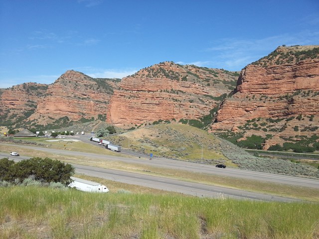
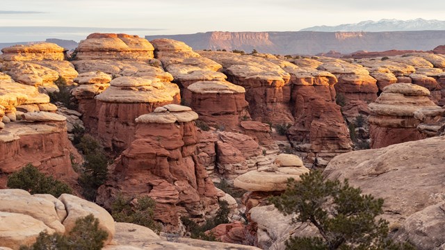
Canyonlands fees, hours and alertsCanyonlands has two accessible scenic-driving shapes. The paved Island in the Sky mesa route is 34 miles round trip; NPS allows about two to three hours with stops at viewpoints and trailheads. The Needles district offers a separate 13-mile round trip once you reach it, but driving there from Moab takes about 90 minutes. There is no direct road between districts, and NPS says transfers can take two to six hours. No food, fuel or lodging is available in the park. A person with half a day should pick a district rather than expect to sample both.
Do not mistake those ordinary paved drives for the White Rim Road seen in adventure photos. That is a roughly 100-mile backcountry loop, generally a two-to-three-day 4WD or bike undertaking, with day-use or overnight backcountry permits and vehicle requirements. The Shafer Trail descends 1,500 feet; NPS highly recommends high-clearance 4WD or AWD, and continuing onto White Rim requires a high-clearance low-range 4WD and a permit. Rental agreements may forbid unpaved roads. The views are not worth a damaged vehicle or a tow in remote country. Choose the paved mesa unless the backcountry plan, equipment and permit are deliberate.
07Ross Maxwell Scenic Drive: volcanic ground to the Rio Grande
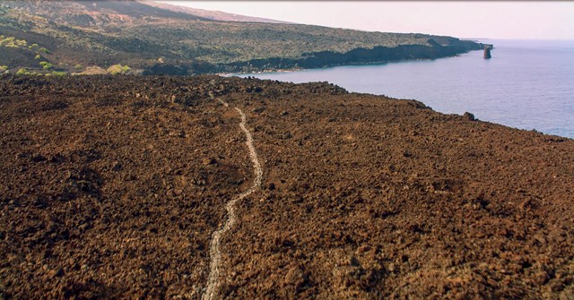
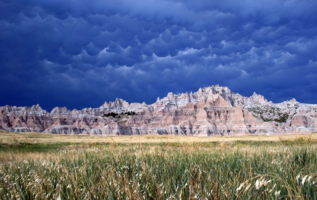
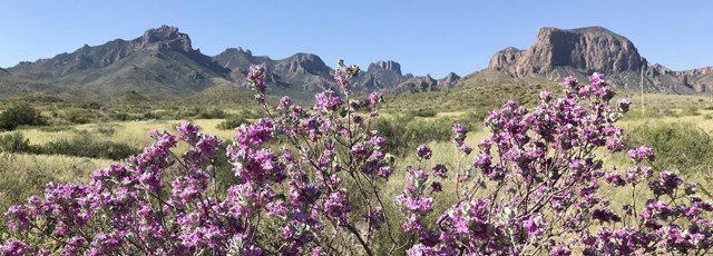
Big Bend National Park fees, hours and alertsBig Bend's 30-mile Ross Maxwell Scenic Drive is a road with a narrative arc. Sam Nail Ranch's still-working windmill draws birds into a patch of shade. Sotol Vista looks out toward Santa Elena Canyon. Mule Ears peaks and Tuff Canyon turn the landscape into a lesson in volcanic geology, and the route ends by the Castolon area and Santa Elena Canyon's limestone walls above the Rio Grande.
It pays to budget time for side stops rather than just drive the thirty miles. Lower Burro Mesa Pouroff is reached on a 1.5-mile side road followed by a half-mile walk. At Tuff Canyon, two overlooks give a view without descending into the gorge. At the far end, the historic Castolon stop and canyon trail need their own time; verify current facility and trail access before relying on them. The optional 14-mile Old Maverick Road is dirt, not a shortcut to add casually in bad conditions. Take water and fuel; desert mileage with little service changes the cost of an unplanned detour.
08Desert View Drive: the South Rim you can drive yourself
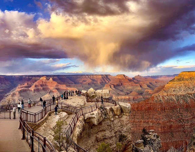
Grand Canyon National Park fees, hours and alertsAt the Grand Canyon, Desert View Drive runs 23 miles east from Grand Canyon Village to Desert View and the East Entrance. NPS explicitly permits private vehicles here. That matters because visitors sometimes assume all South Rim overlooks require a shuttle. Follow the marked pullouts and give the drive time for viewpoints rather than using it solely as an exit road.
Pipe Creek Vista near mile marker 242.5 is a first canyon view, but NPS warns parking is limited and congestion common. Grandview Point at 251, Moran Point at 258, Lipan Point at 263.5 and Navajo Point at 264 build a changing angle on the rock layers and river. Tusayan Pueblo between the overlooks adds a short archaeological walk when the site is open; the NPS page listed its 2026 season April 2-October 31, Thursday-Monday, 8 a.m.-4 p.m., which needs rechecking for another date. At Desert View, spend time with the view rather than treating the Watchtower and services as automatic access; check their operating status.
09Hurricane Ridge Road: seventeen miles into Olympic's weather
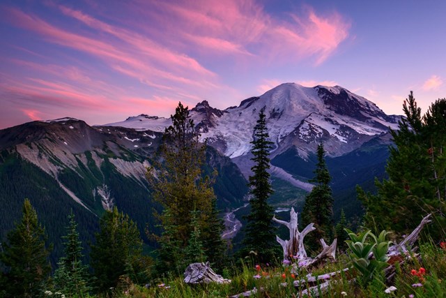
Olympic National Park fees, hours and alertsOlympic's Hurricane Ridge is 17 miles south of Port Angeles by road. The climb is a compact way to exchange coastal-town conditions for mountain weather and, on a clear day, views across the Olympic peaks. A summer outing can combine the drive with a short ridge walk. Winter turns this into an access decision, not just a scenic one.
NPS says the road is open through summer. In winter it is *scheduled* to open Friday through Sunday and holiday Mondays, only if weather and road conditions allow; vehicles must carry tire chains. Check the current road conditions or call the NPS recorded line, 360-565-3131, before leaving Port Angeles. A seasonal schedule tells you when opening is possible, not whether the gate is open at the moment you arrive. That distinction can save a wasted climb.
10Colonial Parkway: a historic connector currently broken by construction
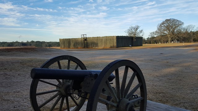
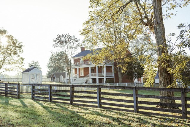
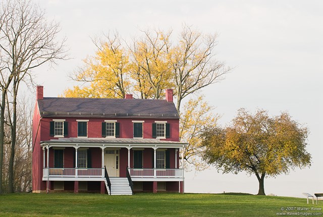
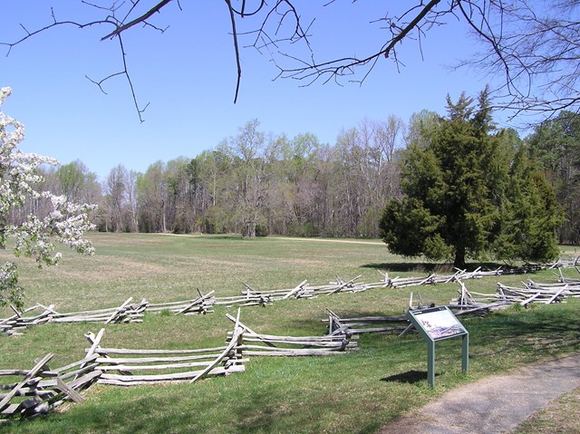
Colonial National Historical Park fees, hours and alertsThe Colonial Parkway was built to link Yorktown, Williamsburg and Historic Jamestowne in Virginia. NPS describes the 23-mile route as a scenic three-lane highway with cobble-aggregate pavement, a deliberate textured reference to older roadways. The middle lane is for passing where permitted, not a continuous third travel lane. If the full route is open, it makes a useful historical itinerary with actual stops at all three sites.
But as of this guide's September 27, 2026 research, it is not a continuous drive. NPS's rehabilitation project reports closures in sections between the Fusiliers Redoubt ramp and Penniman Road, among other project segments, with work expected into fall 2026. The official page's detour map, not an old route description, should determine which approach works. The park's conditions page also flags ongoing construction. Recheck the project update and detours before building a Yorktown-to-Jamestowne schedule. A future reopening would make this entry useful in a different way, but the current break should not be hidden.

Choose by road, not by postcard
Have two hours? The 34-mile round trip on Canyonlands' Island in the Sky mesa is NPS's two-to-three-hour drive with stops; Grand Canyon's 23-mile Desert View road works well when you are already on the South Rim. Ross Maxwell takes longer than its 30 miles suggest if you want to walk the side trails. In each case, count the drive to the park and the return as well as the named route.
Have a full day? Pair selected Blue Ridge Parkway mileposts with an exit highway, drive a portion of Shenandoah between two of its four entrances, or cross Rocky Mountain National Park on Trail Ridge Road when open. Yellowstone requires the most humility about scale: deciding one destination before leaving your entrance is often better than chasing a loop on the map.
Need predictable pavement? Canyonlands' Island in the Sky and Needles scenic roads are the ordinary paved choices. White Rim and Shafer are different driving, with vehicle and sometimes permit requirements. Big Bend's optional Old Maverick Road is dirt. If you are in a rental, read the contract before following a tempting alternate route.
Traveling outside summer? Check more than the calendar. Trail Ridge and Going-to-the-Sun may still be snowbound; Yellowstone's winter access is segmented; Hurricane Ridge opens only on select winter days when conditions allow. A road's seasonal description is never a same-day opening notice.
The check that matters before every drive
Look up the specific segment from the entrance you intend to use, then read today's NPS closure notice. A long parkway may have an open middle section and a closed milepost on either side. Bring an offline map, enough fuel or charge for a detour, water for the desert, and a way to turn around if a gate or weather changes the plan. Pullouts are the place to look; the road itself is for driving.
The ten drives above were checked against official NPS planning pages on September 27, 2026. Seasonal access, construction and entry systems will change. Use those pages for the travel date rather than treating a past operating rule as a permanent feature of the landscape.
All 92 parks with scenic driving
Below is every Park Service unit that lists scenic driving. This is not a live road-status report. Open the park page, identify a specific route and check the managing park's current conditions before travel.
Free to enter Charges an entrance feePoints are the Park Service reference point for each unit, not a boundary.