The national parks are not an off-road destination. That is what makes the ten exceptions interesting. Across 400-plus units, exactly ten let you leave the pavement legally - and they are not rock-crawling playgrounds but something better: barrier-island beaches you can drive for sixty miles, a 140-year-old wagon road across the desert, a 4WD track to a 1908 ranch at the foot of Texas's highest peaks. Each one is a working piece of history or geography that happens to require low range.
All ten are ranked below, with the permit system and the catch for each. The pattern to learn before you go: every one of these privileges is conditional - on tides, nesting birds, permits, and your own tire pressure - and every park publishes a current ORV map that overrules anything you read anywhere else. Including here.
All ten national park off-roading units, ranked
01Padre Island
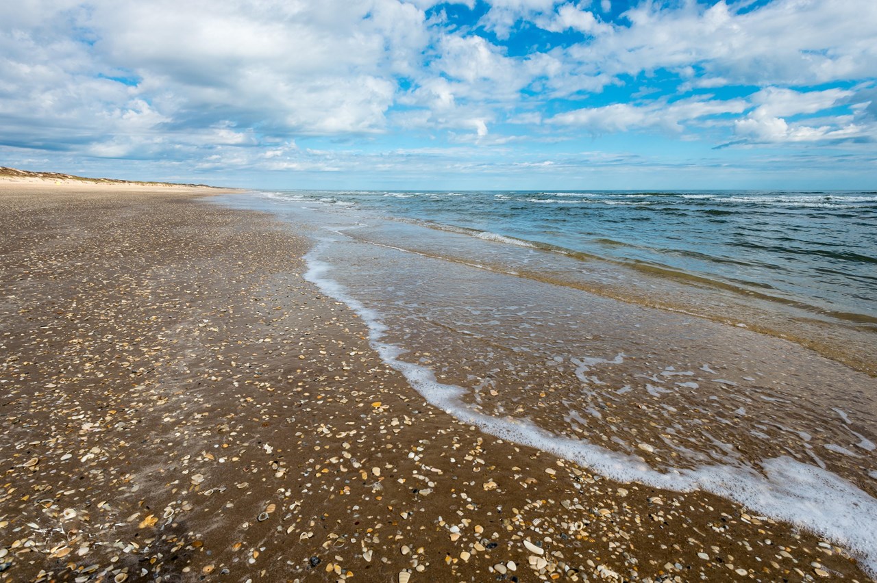
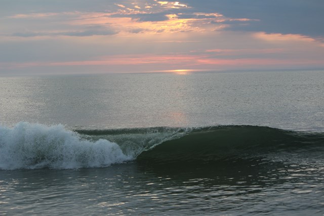
Padre Island fees, hours and alertsThe longest stretch of undeveloped barrier island in the world, and you can drive almost all of it. South Beach runs 60 miles of open sand along the Gulf of Mexico from the end of the pavement, and a street-legal vehicle can go the distance - no permit, no gate, just tide charts and nerve. Two-wheel drive is generally allowed only on North Beach and South Beach miles 0-5, but the park recommends four-wheel drive even there: tides and soft sand can change the route quickly. South of mile 5, four-wheel drive is required; the sand softens and the crowds vanish. Yarborough Pass, about 15 miles down, cuts through the dunes to the Laguna Madre for the fishing crowd. Down-island is the real Texas: camp on the beach, watch the ships on the horizon, and keep an eye on the tide line, because the Gulf takes back the road on its own schedule.
02Cape Hatteras
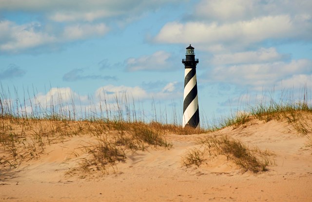
Cape Hatteras fees, hours and alertsThe Outer Banks invented American beach driving, and the seashore still runs the country's most organized ORV program: a permit system (buy online or at the visitor centers), designated ramps onto the sand, and more than 70 miles of ocean and sound shoreline where a vehicle is the difference between a beach day and a fishing expedition. Surf fishermen have run these beaches for generations, and the current rules - seasonal closures for nesting birds and turtles, marked corridors, air-down etiquette - are the negotiated peace between the trucks and the terns. Fall is the famous season, when the drum run fills the sand with tailgate grills and long rods.
03Cape Lookout
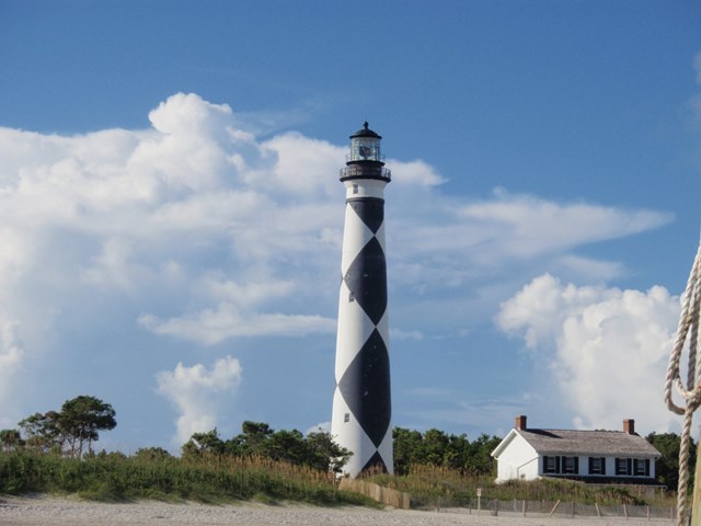
Cape Lookout fees, hours and alertsThe wilder Banks. Cape Lookout's islands have no paved roads at all, so beach driving is not recreation here - it is infrastructure, the only way to reach the remote campsites, the surf-fishing points and the Cape itself. The permit mechanics, per the park's official page (checked September 27, 2026): ORV permits are purchased online through Recreation.gov, valid for the calendar year, and required for driving on both North and South Core Banks - rates and season dates are listed on Recreation.gov. Print the permit, carry it in the vehicle, and show it to a ranger on arrival to receive your windshield decal (decals aren't mailed, and every vehicle needs its own). Vehicles cross on the private ferries from Davis, and the undeveloped beach takes it from there - but know which island your permit covers: driving is on North and South Core Banks, on the ocean side and marked routes only, while Shackleford Banks, home of the famous wild horses, is closed to ALL visitor vehicles - you see the horses by passenger ferry and on foot, never from behind your own wheel. The sound-side beaches are closed to vehicles too. It is Hatteras unplugged: fewer ramps, fewer people, same Atlantic.
04Cape Cod
Cape Cod fees, hours and alertsThe Oversands Corridor out of Race Point is New England's beach-driving institution: miles of open Atlantic beach and dune track past the lighthouse, run by the seashore under an annual permit system that for the 2026 season accepts applications by mail or in person. The drill is traditional - air down to single digits, carry boards and a shovel, watch for the piping plover closures that move with the birds - and the payoff is a beach camp miles from the parking lot, with the Cape's best surf casting at the door. Permits are capped and beloved; the waiting list has its own folklore.
05Assateague
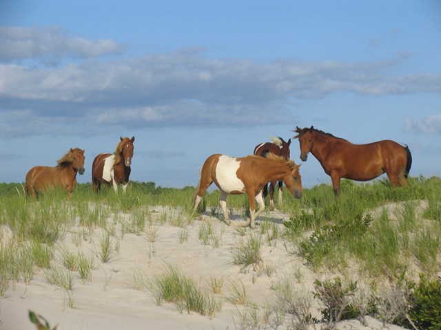
Assateague Island fees, hours and alertsThe OSV zones at Assateague put over-sand vehicles on the same beach as the famous wild horses, which makes for the best wildlife viewing from a driver's seat in the system. Maryland and Virginia each run their zones with permits from the ranger stations; zone status and vehicle caps change, so check both districts before traveling. The horses use the beach as their fly relief and thoroughfare, so the first rule of Assateague driving is to brake for animals that have never read a rule. Bullpen for the surf fishermen, solitude for the campers, pony jam for everyone.
06Mojave
Mojave fees, hours and alertsThe Mojave Road is the West's great historic 4WD route: roughly 150 miles of dirt crossing the preserve between the Colorado River and the Kelso-Cima country, following a Native trade corridor that became a military wagon road in the 1860s and is now listed on the National Register of Historic Places. There is no pavement, no services and no casual version - water caches, a real 4x4, and two or three days are the standard kit - and the landmarks read like a Western: Rock Spring, Government Holes, the Marl Mountains, the traveler's monument at the road's midpoint. Beyond the road itself, the preserve keeps hundreds of miles of open backcountry dirt routes, making Mojave the closest thing the system has to an overlanding park.
07Wrangell-St Elias
Wrangell-St Elias fees, hours and alertsAlaska-scale ORV use, run the Alaska way: recreational riders apply for a free permit - in person at the Slana Ranger Station or online - and ride designated ORV trails, mostly out of the Nabesna Road corridor on the park's north side, to reach hunting, fishing and backcountry that boots cannot. The trails are muddy, braided, glacial-fed affairs that change every season, and the permit system exists to keep the tundra from becoming a permanent scar. This is the only unit on the list where the ORV is primarily a tool rather than a toy, and where the "trail" might be a riverbed. Respect both facts.
08Glen Canyon
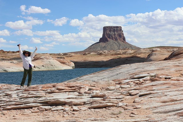
Glen Canyon fees, hours and alertsThe recreation area around Lake Powell has been quietly opening designated roads to ORV use, and its published route maps now cover everything from easy shoreline tracks near Lone Rock to the Orange Cliffs backcountry above the Maze - red-rock benchland with Canyonlands views and none of the national park's vehicle rules. The rule set is simple and strict: ORVs stay on the designated routes shown on the park's ORV maps, each with its own speed and season. The reward is Utah canyon country you can reach in a side-by-side, with the lake glittering below and houseboat wakes for traffic.
09Great Sand Dunes
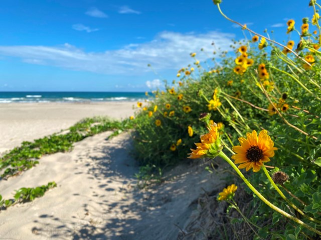
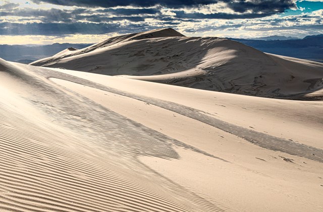
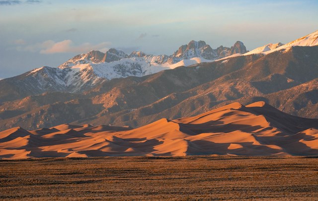
Great Sand Dunes fees, hours and alertsMedano Pass Primitive Road is the rare 4WD road that crosses a mountain pass by way of a beach: it leaves the dunefield on soft sand - air down or dig out - then climbs through the Sangre de Cristo foothills on rock and creek crossings to 10,000-foot Medano Pass, with primitive campsites strung along the way. High-clearance four-wheel drive is the stated requirement, the sand section follows the creek's mood, and the road closes with the snow. It is the best drive in the park that most visitors never see, because it starts exactly where the pavement and the rental cars stop.
10Guadalupe Mountains
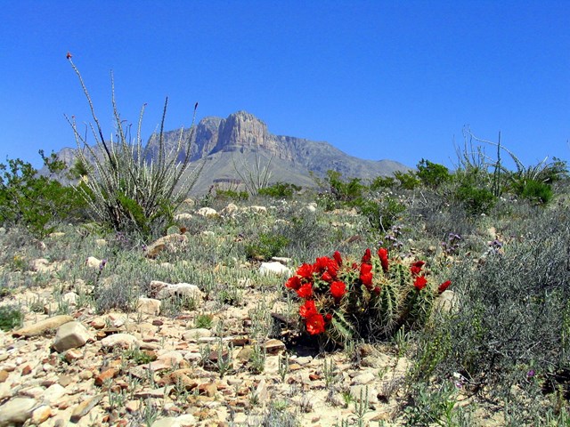
Guadalupe Mountains fees, hours and alertsOne road, one ranch, total commitment: the 7.3-mile track to Williams Ranch, a 1908 stone homestead at the base of the western escarpment, open to high-clearance 4WD vehicles whose drivers pick up the gate key at the visitor center. The road crosses open ranch country beneath El Capitan's mile-high cliff, the kind of terrain the Butterfield stage ran in 1858, and the destination is the loneliest historic building in Texas. It is an afternoon, not an expedition - but it is the only drive in the park system that hands you a key, a gate, and a century at the other end.

How to drive off pavement in a national park
The current ORV map is the law. Closures for nesting shorebirds, sea turtles, fire and washouts move through the season, and the map at the entrance station - plus the park alerts - supersedes every trip report on the internet. Rangers have heard "but the forum said" before.
Air down, gear up. Sand driving runs on tire pressure: drop to 12-18 psi at the ramp, carry a compressor, boards, a shovel, water and a real tow point. Every seashore on this list assumes it; the tide assumes you didn't.
Permits are cheap and specific. Hatteras sells ORV permits online; Cape Cod's annual oversand permit is capped; Cape Lookout's sells through Recreation.gov by calendar year, printed permit exchanged for a windshield decal on arrival; Wrangell-St Elias's is free at Slana or online. None of them transfers to the next park.
Street-legal means street-legal. The beach units require licensed, insured, registered vehicles; the backcountry units range from SUV tracks (Medano Pass) to ATV and side-by-side trails (Glen Canyon, Wrangell). Match the machine to the unit's rules, not the other way around.
A short history of driving on the parks
Off-roading in the parks began as fishing. On the Outer Banks and the Cape, locals had driven the beaches for generations - first in wagons, then in beach buggies improvised from prewar Fords - chasing the fall drum runs and the spring stripers, long before the seashores existed. When Congress drew the park boundaries in the 1950s and 60s, the beach drivers were simply inside them, and the seashores' enabling acts and ORV plans spent the next half-century negotiating the peace: permits, ramps, bird closures, air-down rules.
The desert story is older. The Mojave Road began as a Native trade corridor across the springs of the Mojave Desert, became a military wagon road in the 1860s, faded when the railroads came, and was resurrected by four-wheel-drive clubs in the 1960s as one of the West's first designated historic 4WD routes - now on the National Register of Historic Places, driven today in vehicles its builders could not have imagined, between water holes they would recognize instantly.
All 10 park units with auto off-roading
The full list is above. For the rest of the system, the paved and gravel scenic drives live on the self-guided auto tours page - no air-down required.