"Off-road" does not mean "anywhere without pavement." Among the six Park Service units that list ATV off-roading, the vehicle might carry a hunter along a marked swamp trail, take a camper across a barrier island, or enter a bounded play area. All six have identifiable routes or areas in current NPS guidance, but Glacier Bay’s are in the remote Dry Bay preserve, not in the main national park visitor area. For a rider trailering a machine, the park name is the beginning of the research, not the permission slip.
First match your vehicle to the park's definition. A utility ATV, a street-legal ATV, an OHV and a conventional 4WD can be treated differently on the same map. Then check the precise route, permit, current closure and equipment requirements. The five examples below offer ways to plan a legal visit, not a blanket right to drive off a marked line. The six-unit Park Service list is below.
Five distinct kinds of access
01Big Cypress: permitted swamp trails, not open marsh
Big Cypress fees, hours and alertsBig Cypress National Preserve in Florida uses ORV trails for access to hunting, fishing, camping, wildlife watching and other traditional activities. It is the kind of trip where the vehicle helps you reach the landscape, rather than turning the entire preserve into a play area. The NPS ORV page requires a permit for all ORV use and vehicle inspection under its rules. Registration and renewal are directed through Recreation.gov.
Enter trails only at designated gates, close and lock the gate behind you, and stay on marked routes. The park's published trail-use hours are 5 a.m. to 10 p.m. A camp or fishing plan does not excuse driving on a user-made track, even if it looks well traveled. Get the current unit map and trail status before leaving home; check whether your exact ATV or UTV meets the park's inspection and Florida title requirements. If you lack a machine, the park links to permitted commercial operators, but confirm an operator's current authorization and itinerary rather than assuming every tour follows an ORV route you can drive yourself.
02Cape Lookout: a utility ATV for a barrier-island visit
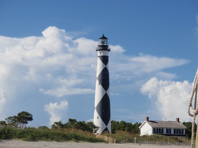
Cape Lookout fees, hours and alertsCape Lookout National Seashore permits ATV riding only on North and South Core Banks. This is a beach-access trip with vehicle-ferry logistics, not a mainland riding park. NPS allows utility ATVs, not sport models. Operators must be at least 16 and hold a valid driver's license; a learner's permit does not count. The ATV rules allow travel on designated trails and the open ocean-side beach between dunes and tide line. Nesting-bird and sea-turtle protection areas are off limits, even when sand looks rideable beyond a closure.
Buy the Cape Lookout ORV permit through Recreation.gov, print it, and present it to a ranger on arrival for the decal. Every vehicle needs its own permit and displayed decal; a Cape Hatteras permit is not interchangeable. The park's page warns that printing the permit from a phone may produce a blank document, so handle the paper before the ferry. Check the current ferry vehicle capacity and landings separately. Helmets meeting DOT standards and eye protection are required under North Carolina ATV rules. A rider born on or after January 1, 1990 also needs an approved ATV safety course under the state's rule as described by NPS; verify current state requirements before travel.
The seashore explicitly says its ATVs are for reaching camping, surf fishing and shelling, not racing, jumping or doing doughnuts. A beach can be open to a vehicle and still be shared with walkers and nesting wildlife. Check the day's wildlife closures, tide and weather; plan a turnaround rather than relying on a narrow strip of sand remaining passable.
03Glen Canyon: vehicle class changes the map
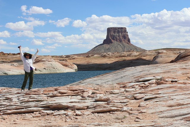
Glen Canyon fees, hours and alertsGlen Canyon National Recreation Area in Arizona and Utah has designated ORV roads and areas, including Lone Rock Beach and its separate Play Area. The vehicle rules distinguish conventional road vehicles, street-legal ATVs and OHVs that are not road-registered. A non-street-legal OHV may use most designated unpaved roads, but not paved roads and not most shoreline-access areas. Street-legal ATVs can use certain shoreline-access areas and designated roads, with seasonal exclusions. The approximately eight-mile designated stretch of the Poison Spring Loop in Orange Cliffs is an exception to otherwise restrictive ORV access there. Unmarked "social trails" are closed to motor vehicles.
At Lone Rock, the mapped shoreline access area and Play Area are not interchangeable. The shoreline zone has a 15 mph limit unless posted otherwise and a vehicle-free section; the Play Area closes sunset to sunrise and requires a red or orange safety flag on OHVs meeting the park's height and size rule. Camping on Lone Rock Beach has a separate per-vehicle overnight charge on top of entrance fees, as shown on the NPS beach page. Do not mistake payment for camping as vehicle-route permission.
Check permit status directly with Glen Canyon before towing there. As of September 27, 2026, its ORV overview said a permit system was in development, while its maps page said permits were required and also repeated that development language. The pages do not give a clean, reliable answer about a presently issuable permit. A federal rule amendment's effective date had also been postponed indefinitely pending judicial review. Ask the park which rule and application process apply to your specific machine and Lone Rock zone now. A map and a current answer beat any generic ATV listing.
04Lake Meredith: two Texas OHV areas, two decals
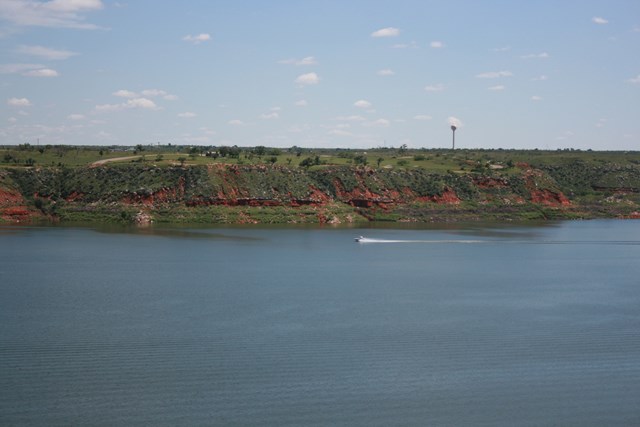
Lake Meredith fees, hours and alertsLake Meredith National Recreation Area designates Blue Creek and Rosita Flats for off-road recreation. Blue Creek riders stay within the cutbanks; Rosita Flats riders stay below 3,000 feet elevation. The NPS OHV page requires a park ORV permit, currently at no charge, plus a Texas OHV decal. The park permit is an application to NPS, not merely a receipt for the state decal. It runs from January 1 to December 31 regardless of the issue date and must be renewed annually. The park asks for each vehicle's year, make, model and VIN; each VIN gets one decal.
DOT-approved helmet and eye protection are required for riders. ATVs also need a whip and flag. Check the park's current application instructions, Texas equipment standards and open-area notices before heading into the sand. There is an important planning difference here: the park explicitly calls these designated areas off-road recreation, whereas Cape Lookout frames ATV use as access to fishing or camping. Neither designation extends beyond the NPS boundary or into an adjacent closed area.
05Wrangell-St. Elias: a trail and land-status decision
Wrangell - St Elias National Park & Preserve fees, hours and alertsWrangell-St. Elias National Park & Preserve is the Alaska example, and the distinction between *recreation* and *subsistence* matters. The park requires a free recreational ORV permit and limits recreational travel to designated trails. NPS advises allowing at least two to three business days for an emailed application to be processed. Every listed operator should carry the signed permit. Federally qualified local rural residents conducting subsistence activities have different rules; a visiting rider cannot borrow that status from an activity label.
The park describes Trail Creek from milepost 29.8 of Nabesna Road as roughly five miles along a gravel stream bed in the national preserve; Lost Creek begins near milepost 31.2 and also runs about five miles. Water from rain or snowmelt can rise quickly in these drainages. Their mileage is a route description, not a promise that a trail is currently passable. Use the park's interactive land-status and trail map and check road conditions before setting out. The Kotsina Trail illustrates why boundary literacy matters: its easement passes through private land and onward into designated wilderness; recreational ORV riders must park at the NPS boundary and continue on foot. A trail drawn on a map need not be an all-the-way motorized ride.


Glacier Bay: designated trails in the remote preserve
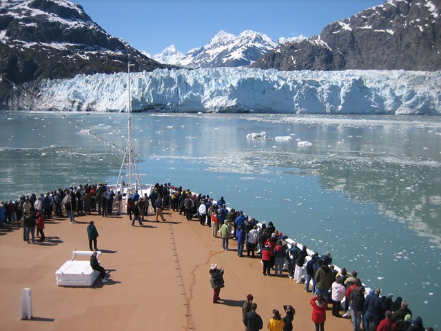
Glacier Bay National Preserve is not the heavily visited national park around Bartlett Cove. The preserve is in the Dry Bay area, reached by plane or by traveling the Alsek River. NPS explicitly allows ATVs and other vehicles on roughly 60 miles of designated preserve trails, while travel off designated routes is prohibited. High water can make those routes impassable. This is a real ATV access area, but it is neither a drive-up trailhead nor permission to ride anywhere in Glacier Bay National Park. Read the preserve map and current access rules before making a remote trip.
Before you load the trailer
Use the park's own current map for the exact designated road, trail, beach or play area. Write down the vehicle class accepted there, the permit issuer, whether a printed copy and physical decal are required, the dates and hours, and any state license, helmet or equipment rules. Add the ferry or rough-road logistics where relevant. Ask the park about a contradiction rather than picking the rule that sounds easier.
Trail closures can protect wildlife, respond to flood damage or change with water level; an old route description is not a live open sign. Stay on marked routes, respect speed limits and other users, and turn around when conditions or postings change. Only the current park rules tell you where your particular ATV may go today.
All six Park Service units that list ATV off-roading
These cards reflect the activity feed. Glacier Bay's ATV trails are in the remote Dry Bay preserve, not near the national park's main visitor area. All six units have different route, machine and permit conditions.
Free to enter Charges an entrance feePoints are the Park Service reference point for each unit, not a boundary.