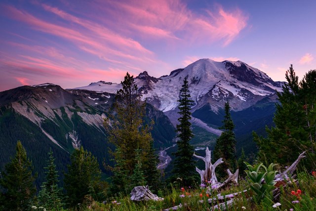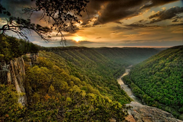
The park road is America's most underrated trail. Eighty-six Park Service units list self-guided auto tours, and the best of them are not transportation but destination: roads engineered in the 1920s and 30s to put a windshield frame around the country's best scenery, with overlooks placed like paragraphs. The Park Service's self-guided auto-tour list leaves out famous drives such as Trail Ridge Road and Skyline Drive. The ten drives below make a trip worth the gas, with timing advice for each.
The golden rule of park driving applies to all of them: go early, go slow, and read the park alerts the morning of. Roads close for snow, fire, ice and bison, in roughly that order of predictability.
The ten best national park scenic drives
01Glacier: Going-to-the-Sun Road
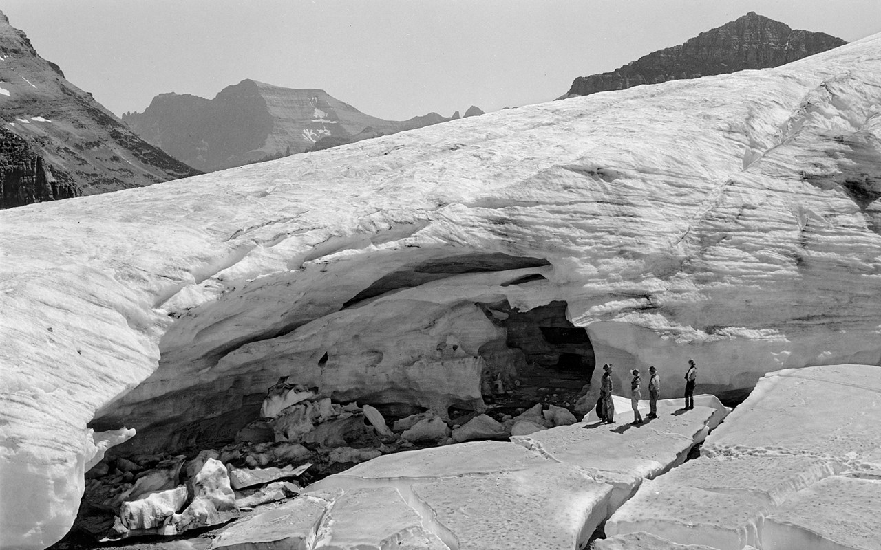
Glacier fees, hours and alertsFifty miles of engineering bravado across the Continental Divide, and still the standard by which park roads are judged. The Sun Road climbs from cedar forest to the alpine at Logan Pass, pinned to the Garden Wall with waterfalls dropping onto the pavement, past the Weeping Wall and Bird Woman Falls to the hanging valleys of the east side. It is fully open only in high summer - typically late June or early July to mid-October, whenever the plows finish and the snow returns - and it is narrow, busy and strictly limited for big vehicles. Drive it at dawn, park at Logan Pass before the lot fills, and let the shuttles do the afternoon.
02Yellowstone: The Grand Loop
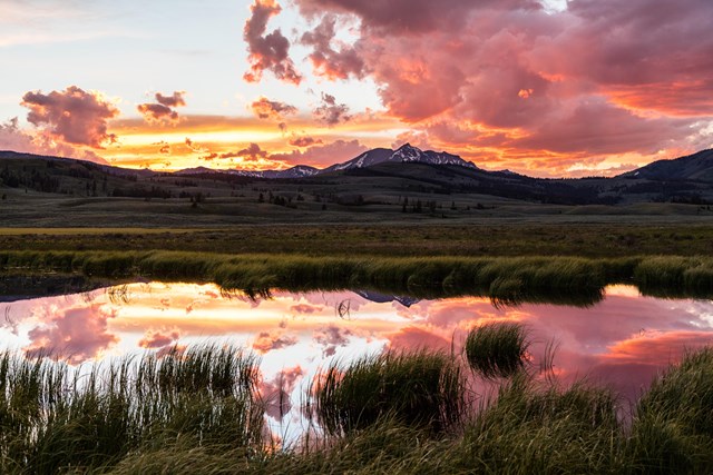
Yellowstone fees, hours and alertsOne hundred forty miles of figure-eight through the greatest concentration of geothermal features on Earth, and the original American road trip: the 1915 tourists did it in five days by stagecoach, and the layout hasn't changed. The Lower Loop stacks the headliners - Old Faithful, Grand Prismatic, the Grand Canyon of the Yellowstone, Hayden Valley's wildlife - while the Upper Loop adds Mammoth's terraces, Lamar Valley's wolves and the vertigo of the Beartooth-adjacent northeast. Bison jams are traffic law here: the herd has right-of-way, and your schedule does not. Two days minimum, dawn starts, and no passing the animals.
03Great Smoky Mountains: Newfound Gap Road and Cades Cove
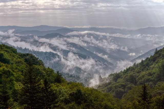
Great Smoky Mountains fees, hours and alertsThe park's two drives are two eras. Newfound Gap Road crosses the crest of the Smokies through 30 miles of cove hardwood and spruce-fir, the classic blue-haze ridgeline drive with the AT crossing at the gap. Cades Cove Loop is the slow one: 11 miles around a preserved mountain valley where deer, bears and turkeys work the fields between the log churches, at speeds that make cyclists faster than you. The Cove on a Tuesday morning in October is the single best wildlife drive in the East; on a Saturday it is a parking lot with scenery. Choose accordingly.
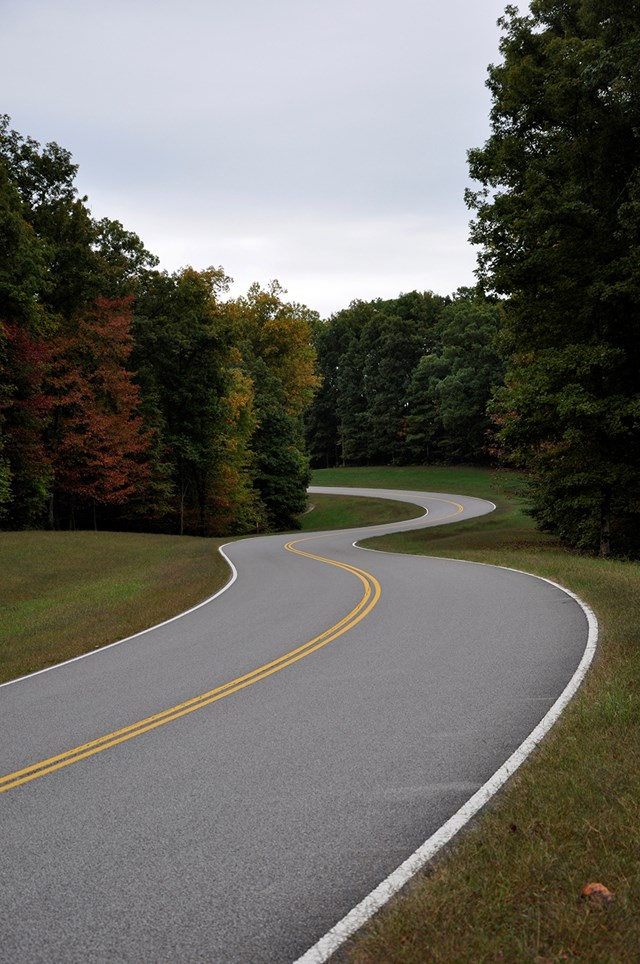
04Natchez Trace Parkway
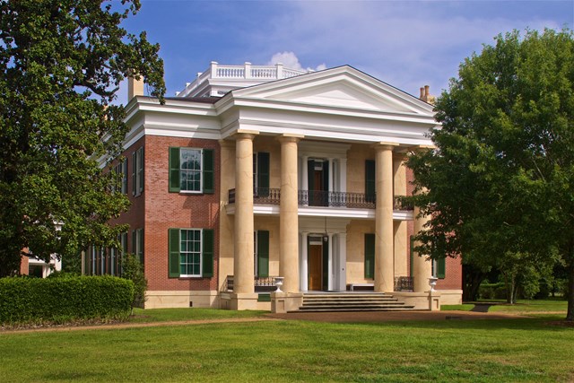
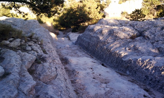
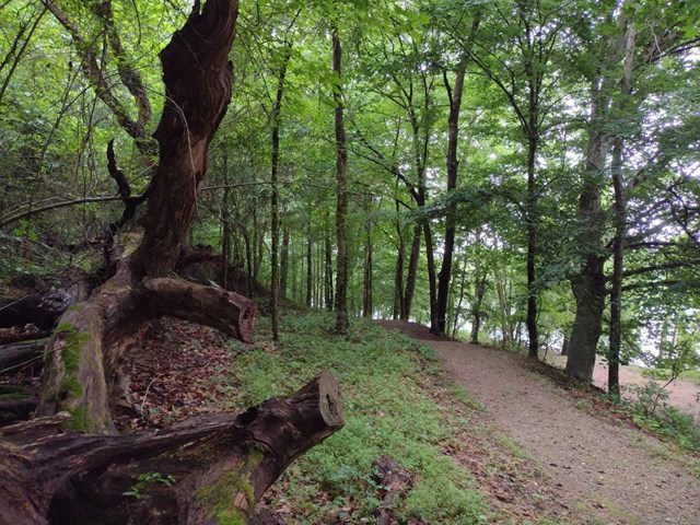
Natchez Trace fees, hours and alertsThe anti-highway: 444 miles from Natchez to Nashville with no trucks, no billboards, no stoplights worth counting, and 10,000 years of road history in the pull-offs - the sunken original Trace, Chickasaw village sites, the cypress swamp, the Meriwether Lewis grave. The Trace is a drive for driving's sake, gentle and green and meditative, best in sections unless you have the week: the northern terminus near Franklin and the Mississippi bluffs around Natchez are the richest miles. Fall color rivals anything in the system, at half the Blue Ridge traffic.
05Olympic: Hurricane Ridge Road
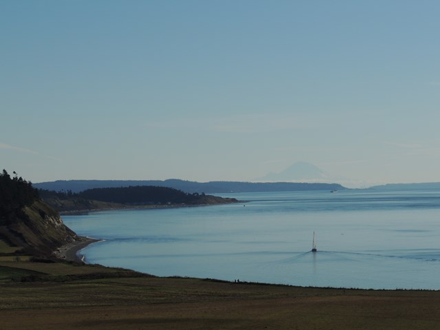
Olympic fees, hours and alertsSeventeen miles from sea level to 5,242 feet, climbing from Port Angeles through the fog line into the alpine, with the Strait of Juan de Fuca filling the rearview and the Olympic ice fields ahead. It is the steepest ecosystem-per-mile drive in the system: rain shadow to rain forest edge to glacier country in forty minutes, with marmots whistling at the top. The ridge road is paved and open daily through summer; in the winter season it's scheduled to open Friday through Sunday plus holiday Mondays, weather and road conditions permitting, with tire chains required on all vehicles - and the winter version is the rare alpine drive that gets better with snow. Check the park's road-status line before the drive up.
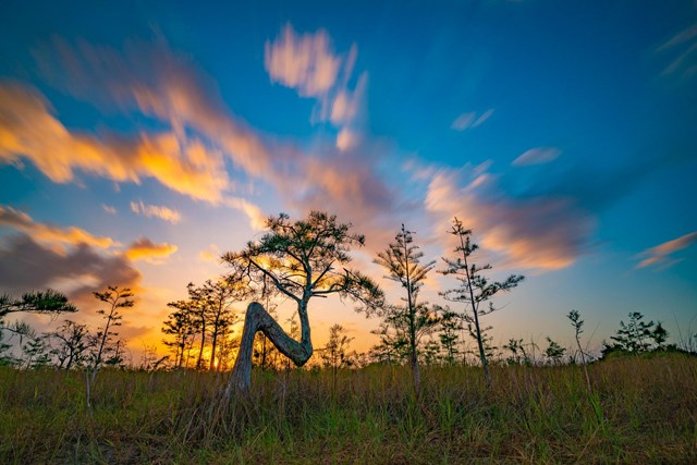
06Everglades: The Main Park Road
Everglades fees, hours and alertsThirty-eight miles from the entrance to Flamingo, and flat as a billiard table the whole way - which is the point. This is a safari drive through the River of Grass: Anhinga Trail's guaranteed wildlife at the start, mahogany hammocks and cypress domes in the middle, and Florida Bay at the end, with alligators, crocodiles and roseate spoonbills as the roadside attractions. The drive is the park's spine, every trailhead hangs off it, and the dry season (December through April) is when the water and the mosquitoes cooperate. Stop at every pull-off; the Everglades hides in plain sight.
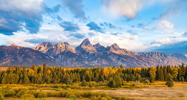
07Grand Teton: The Inner Loop
Grand Teton fees, hours and alertsThe Teton Park Road strings the valley's greatest hits into 20 miles: the Chapel of the Transfiguration's window-framed altar, the Jenny Lake junction, the String Lake turnouts, and Signal Mountain's summit road for the panorama of the whole range over Jackson Hole. Add the Moose-Wilson Road for the moose-in-the-beaver-ponds version (narrow, slow, unpaved in part), and the loop becomes the perfect half-day that explains why people move to Wyoming. Dawn puts the light on the range and the animals on the road.
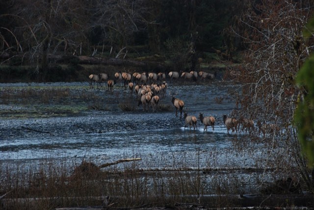
08Redwood: The Prairie Creek Drives
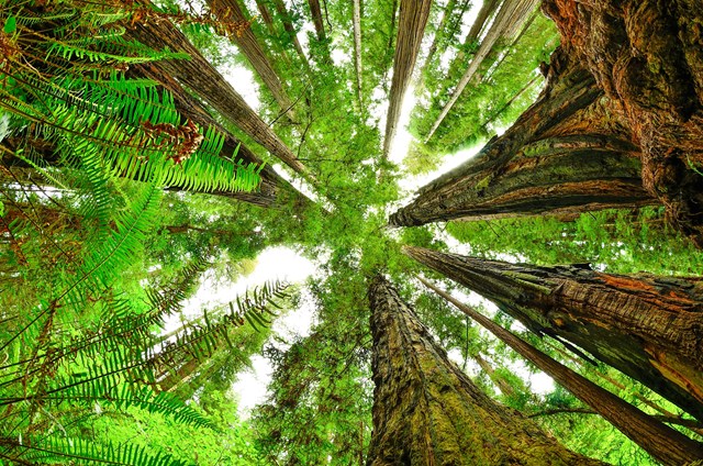
Redwood fees, hours and alertsNewton B. Drury Scenic Parkway and the gravel Howland Hill Road are the two best ways through the tallest trees on Earth: ten paved miles of cathedral grove on the parkway, and a narrow dirt lane through Jedediah Smith's old-growth so tight the redwoods touch the mirrors. The drives cost nothing, take an hour, and recalibrate your sense of scale permanently. Elk herds work the prairie at the parkway's south end; Howland Hill is for vehicles with clearance and drivers with patience. Both are better in rain, which is convenient.
09Petrified Forest: The 28-Mile Road
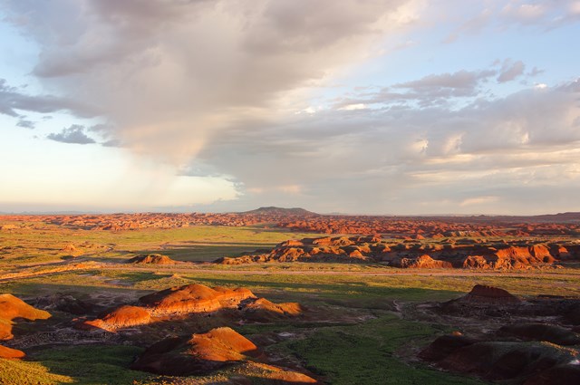
Petrified Forest fees, hours and alertsThe most efficient scenic drive in the system: 28 miles of park road from the Painted Desert's banded badlands at the north entrance to the Rainbow Forest's giant fossil logs at the south, with every era of the park's story at a pull-off - Puerco Pueblo's petroglyphs, the Blue Mesa badlands, the Crystal Forest, Route 66's old roadbed crossing the park. Two hours covers it, a day does it justice, and I-40 waits at both ends, which makes this the best park drive you can fold into a cross-country trip without detouring.
10Organ Pipe: Ajo Mountain Drive
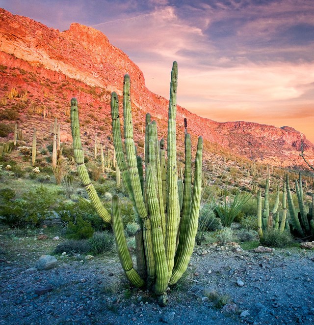
Organ Pipe fees, hours and alertsThe sleeper of the list: a 21-mile graded loop into the Ajo Mountains through the densest organ pipe cactus forest in the United States, past arches, springs and canyon country that looks like a Sonoran Desert diorama with no glass. The road is gravel, gentle and suitable for normal cars in dry conditions, the crowds are minimal, and March turns the slopes gold with poppies. It is the best desert drive nobody does, two hours from Tucson, on the border's edge - check the park's current conditions before you go.

How to drive a park road
Time the opening, not the calendar. Going-to-the-Sun and the high roads open when the plows finish - late June or July in a heavy year - and close with the first big snow. The park page and alerts are the only schedule that counts.
Dawn is the cheat code. Every drive on this list is twice as good before 9 a.m.: wildlife out, lots empty, light low. The famous roads are one-lane-economically; arrive late and you tour a parking lot.
Know your vehicle limits. Length and height restrictions rule the Sun Road, Going-to-the-Sun's shuttle and several mountain roads; gravel drives like Ajo Mountain and Howland Hill exclude the rental agreement's fine print. The road-trip guide handles the routing logic.
Fuel, water, patience. Services inside parks are sparse by design. Fill up at the gateway town, and treat the bison jam as the attraction it is.
A short history of the park road
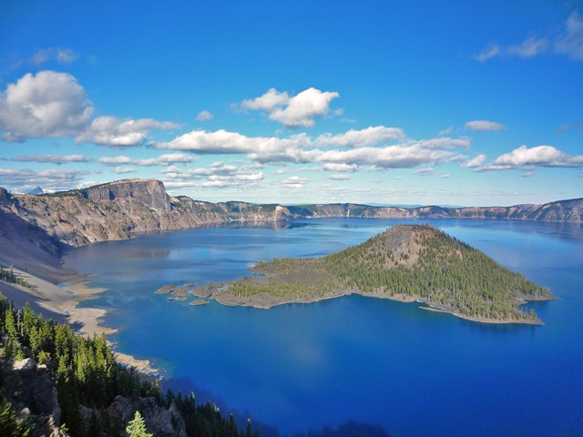
The national park road was an argument about democracy. When automobiles forced their way into Yellowstone in 1915, the parks faced a choice: keep the stagecoach's elite few, or build roads that let everyone see the wonders. They chose roads - and then spent the 1920s and 30s perfecting the genre. The Bureau of Public Roads and the Park Service treated the road as landscape architecture: Going-to-the-Sun blasted across the Garden Wall, the Grand Loop's figure-eight refined for the motor age, the Natchez Trace and Blue Ridge parkways built as New Deal make-work that became masterpieces, Rim Drive at Crater Lake laid out so every overlook composes itself.
The formula they invented - engineered grades, stone guardwalls, the framed vista - is now so familiar it reads as nature. It is not. Every one of these drives was designed to deliver exactly the view you stop for, by people who understood that the road itself was the park's handshake with the public. Drive slowly. They intended you to.
All 86 parks with self-guided auto tours
Below is every Park Service unit that lists self-guided auto tours. Check each park's road conditions and alerts, including for famous drives not on this list, before you go.
Free to enter Charges an entrance feePoints are the Park Service reference point for each unit, not a boundary.