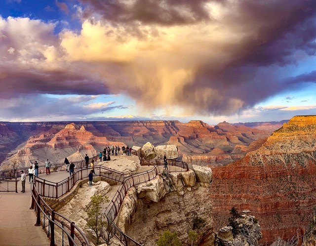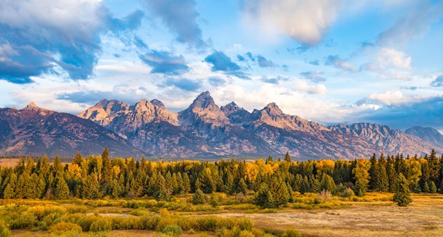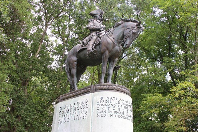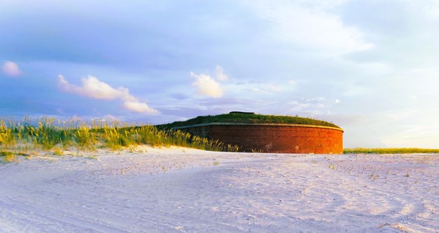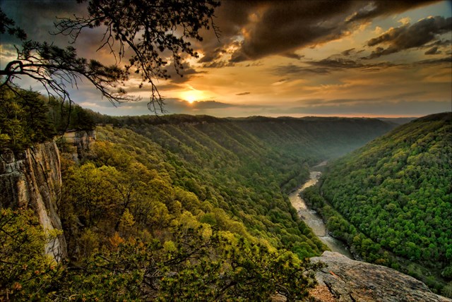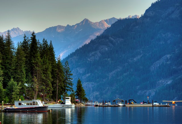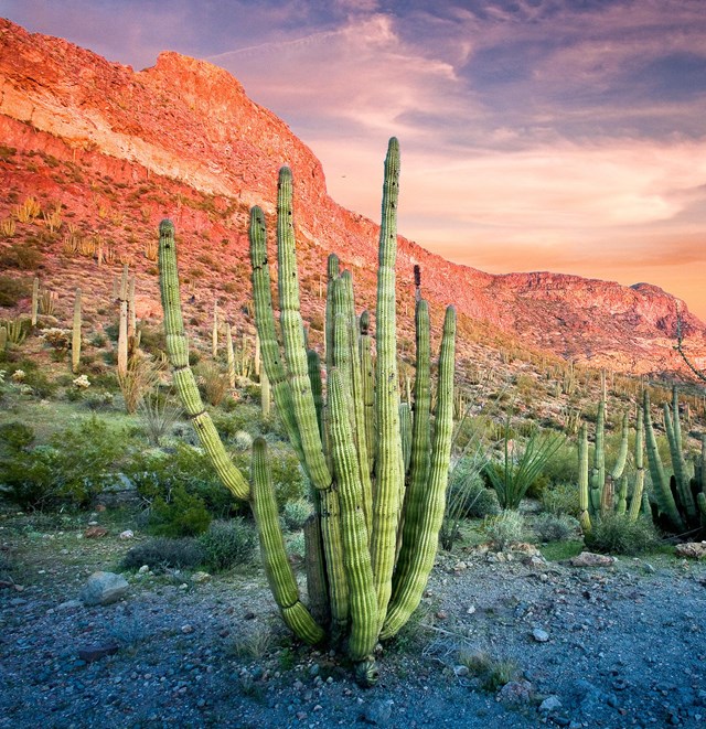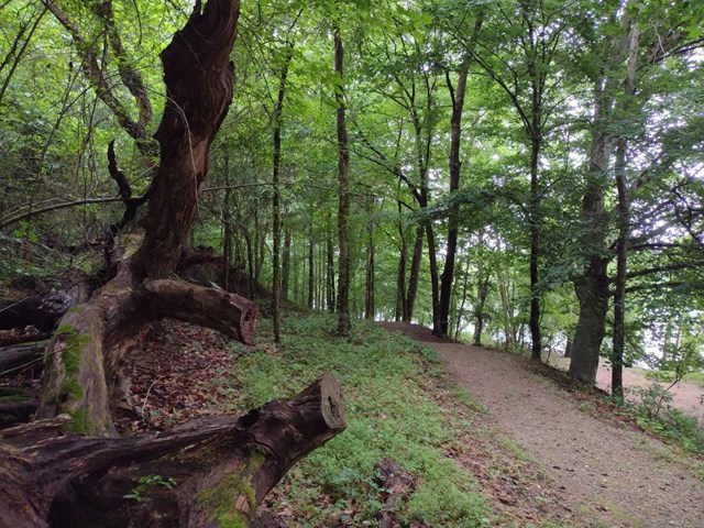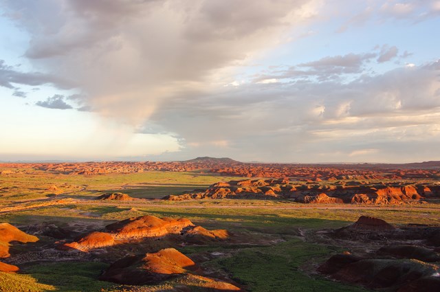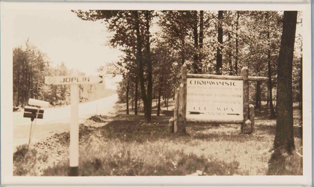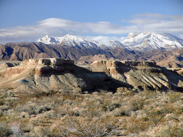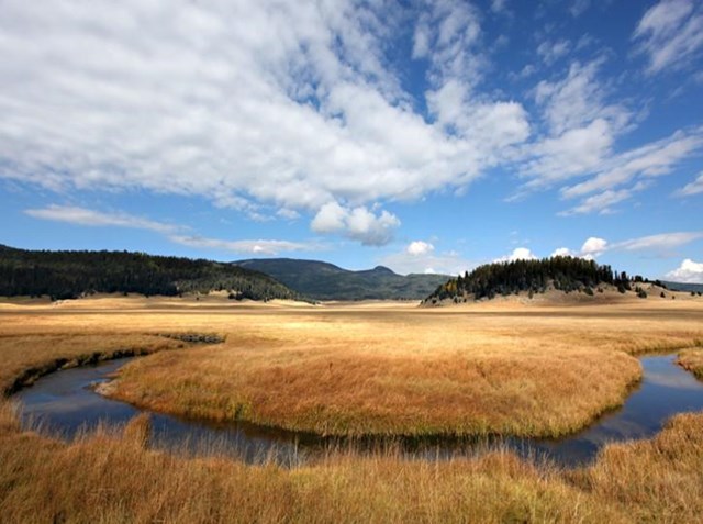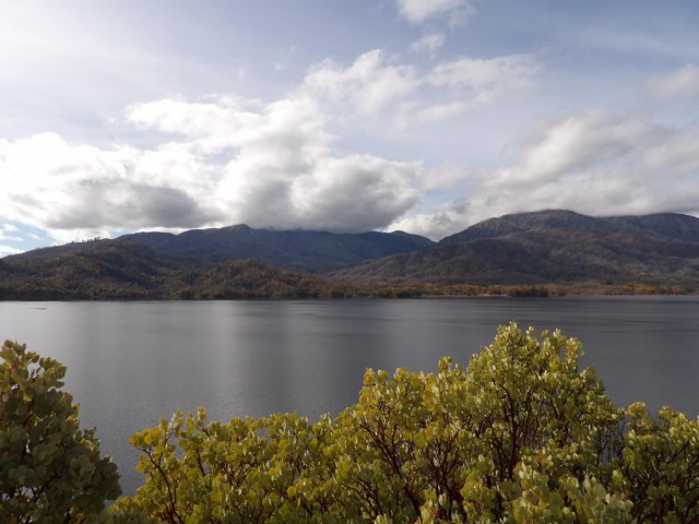
A road-biking trip can mean a car-free day in a valley, an alpine climb amid traffic, a paved wildlife loop or a crushed-stone canal towpath. The Park Service lists 99 units with road biking, but riders still need to check the surface, traffic and permitted routes in each park.
These ten routes show the decisions a cyclist actually needs: whose traffic shares the way, what lies under the tires, how far the useful ride runs, and whether the good version exists only on a particular date. The park directory follows the guide. Check each park's road status and rules close to departure; a road open to cars, a road closed to cars but open to bikes, and a construction closure are three different things.
Ten very different park bike days
01Great Smoky Mountains: Cades Cove without cars on Wednesdays
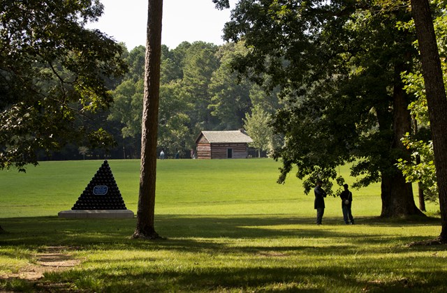
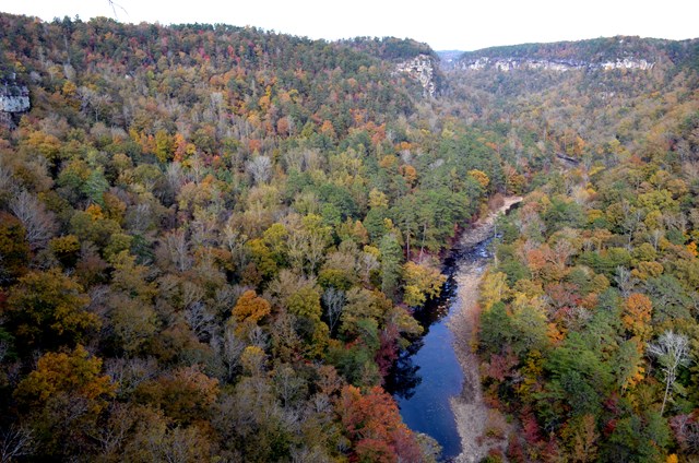
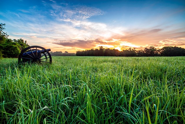
Great Smoky Mountains fees, hours and alertsFor a road ride with the sound of tires instead of traffic, start at Great Smoky Mountains. NPS scheduled motor-vehicle-free Wednesdays in Cades Cove for the 2026 season. Check the current year’s days before planning a ride. That creates a rare way to experience the valley's open fields and historic buildings from the road without a stream of sightseeing cars. It is not a blanket vehicle ban every day, and the 2026 dates should not be copied into next year's calendar.
The loop is an 11-mile one-way road, so choose it with enough time and supplies to finish. The route still draws many riders and walkers. Parking can fill in the morning, and NPS says drivers may be turned away until spaces open; only designated parking is allowed. If your vehicle remains parked within park boundaries more than 15 minutes, it needs a parking pass. A bike rental operates near the campground store but can have a wait, so don't build a tight departure schedule around it. Bring food, water and a first-aid kit: the park warns the ride takes longer than expected over the terrain, and cell service is unreliable. Class 1 and 2 e-bikes are allowed; observe the posted 20-mph bicycle limit.
02Yosemite Valley: twelve-plus miles of actual bike paths
Yosemite National Park fees, hours and alertsAt Yosemite, more than 12 miles of paved bike paths thread the Valley floor. That separates much of a family ride from the roads with tour buses and private vehicles. The path speed limit is 15 mph. Bikes may also use regular roads when riders obey traffic rules, but "a road is open" is not the same as "the path continues": consult the Valley bike map before crossing between stops.
Bring a bike, use rentals at Curry Village, Yosemite Village or Yosemite Valley Lodge, or, when operating for the season, borrow a free bike-share bicycle for up to two hours. General rental bikes are first-come, first-served. NPS says reservations are offered only for adaptive hand-crank bikes and tandems for visually impaired guests. The bike share opens in late spring depending on weather and road safety. Check its live status and the rental stands rather than promising a waiting bike. With a short ride, make the destination a meadow or a waterfall viewpoint; leave time to lock up and walk where biking is not allowed.
03Everglades: Shark Valley's fifteen-mile paved loop
Everglades fees, hours and alertsEverglades offers one of the cleanest route choices here: the 15-mile paved Shark Valley tram-road loop. NPS calls it its most popular bicycle destination and points to wildlife viewing along the route. The loop is shared with park tram operations and other users, not an exclusive cycling track. Stay on the road, give animals room and plan for exposed sun and heat rather than judging effort by the flat elevation alone.
NPS also permits riding on main park roads and named trails, but the alternatives are not equivalent. The older bicycling page says Snake Bight, Rowdy Bend and Long Pine Key trails are not currently maintained because of habitat concerns. Do not route an unfamiliar visitor onto them solely because their names appear in a permitted-route list. The page was last updated in 2018; check the Shark Valley road and visitor-center conditions before travel. If wildlife is the point, allow time for pauses rather than trying to set a fifteen-mile speed record.
04Acadia: traffic on the Park Loop, crushed stone on the carriage roads
Acadia fees, hours and alertsAcadia forces a useful distinction. Its Park Loop Road is a scenic motor road open to cyclists, but NPS says it is winding, narrow and has no shoulder. Biking it during the busy 10 a.m.-4 p.m. window is not advised. On the one-way segment, ride with traffic rather than against it. The Cadillac Mountain road is steep and can be dangerous. Cyclists need a park entrance pass even if they came by bike; at Sand Beach entrance station, queue with cars rather than bypass the booth.
The historic carriage roads offer a very different day on crushed rock shared with walkers and horses. Cyclists yield to everyone, all users yield to horses, and the carriage-road bike speed limit is 20 mph. Class 1 e-bikes are allowed there, not classes 2 or 3. Spring mud season often brings closures, usually March or April. A narrow-tire road bike may favor pavement, but the paved road carries vehicle risk; a bike suited to crushed stone opens the gentler carriage-road option. Use the NPS intersection map and current alerts to plan a loop, not a vague "ride Acadia" plan.
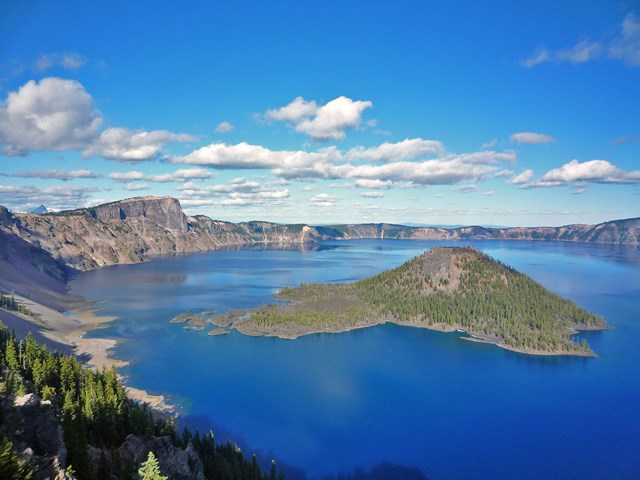
05Crater Lake: an advanced ride, with no 2026 Ride the Rim event
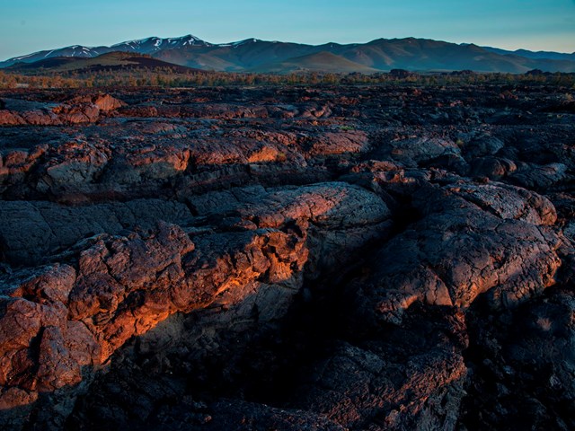
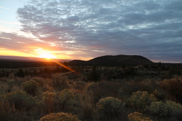
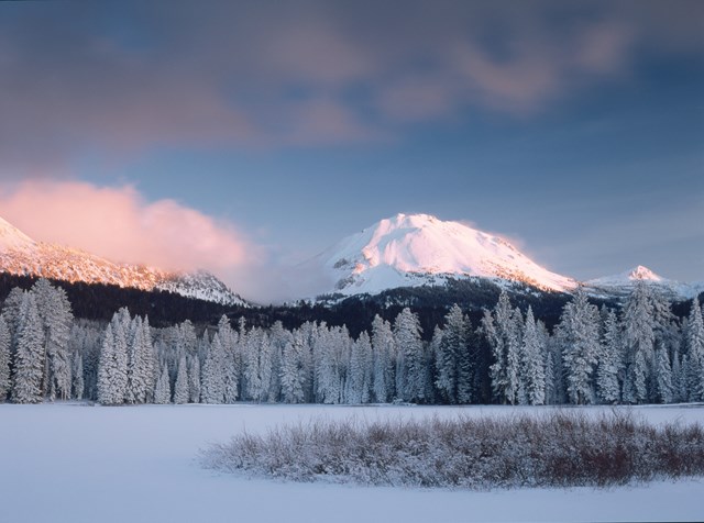
Crater Lake fees, hours and alertsThe Crater Lake Rim Drive circuit is 33 miles at high elevation. NPS describes steep grades, blind curves, potholes, weather hazards and narrow roads without bike lanes or shoulders. Water is available only at Rim Village and Mazama Village. This is a serious road ride for people comfortable in two-way traffic, not an easy lakefront path. The three miles from park headquarters up to Rim Village are especially narrow and steep; NPS discourages cycling them.
There is an attractive exception when the road is snow-free but seasonally closed to motor vehicles: NPS permits bikes on Rim Drive and North Entrance Road during those conditions. However, riders must still expect administrative vehicles. More important, the park canceled the 2026 Ride the Rim event due to construction, even though its general bicycling page still describes the recurring vehicle-free Saturdays. Do not advertise a 2026 event or assume the east rim's 24 vehicle-free miles are available on a particular weekend. Check current road status and specific event notices; no dated event means no event plan.
06Blue Ridge Parkway: a long climb with no bike lane
Blue Ridge Parkway fees, hours and alertsThe Blue Ridge Parkway offers 469 miles across Virginia and North Carolina, but the NPS makes the central caveat explicit: it was designed for scenic motoring and has no designated bike lanes. In some sections, riders climb more than a thousand feet over just a few miles. The route has 27 tunnels, sudden fog and variable traffic. This is a section-by-section ride for experienced road cyclists, not a claim that all 469 miles suit any group on any day.
Bikes are confined to paved road surfaces and parking areas, not trails or walkways. NPS requires a white front light or reflector visible at least 500 feet and a red rear light or reflector visible at least 200 feet during low visibility, after sunset or in tunnels. The closure distinction is unusually important: a weather-gated section may allow careful biking or walking, but a construction closure prohibits all traffic including bikes and pedestrians. Inspect the posted reason and mileposts on the road-status page, and never take a closed construction section as a car-free shortcut.
07Colonial Parkway: a rough-surface connector with a forbidden tunnel
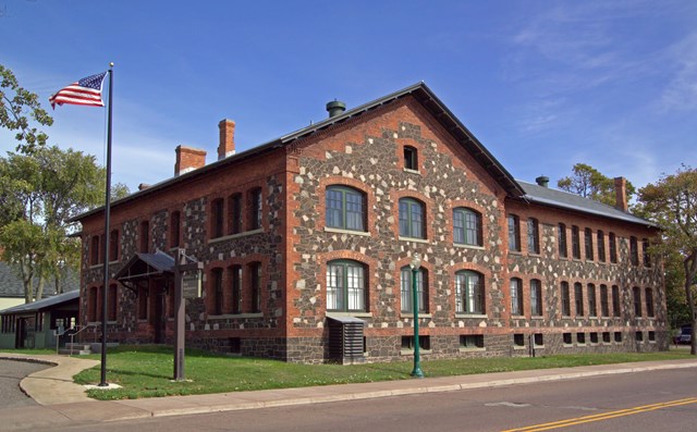
Colonial National Historical Park fees, hours and alertsAt Colonial National Historical Park, the 23-mile Colonial Parkway links Yorktown, Williamsburg and Historic Jamestowne when its segments are open. The road's cobble-aggregate pavement can feel rough on a narrow-tire bike. There is no dedicated bicycle lane and vehicles use the road. The center lane of the three-lane parkway is for passing only where signs permit. The tunnel under Colonial Williamsburg is not open to bicycles or pedestrians; NPS publishes a street bypass via England, Lafayette and Henry Streets and Newport Avenue.
Construction can interrupt the longer ride. Check open segments and detours before planning an uninterrupted 23-mile ride. Use the project detour map and current conditions before choosing a side. A shorter alternative, when accessible, is Yorktown's seven-mile Battlefield Tour Road or nine-mile Encampment Tour Road; NPS notes both use other park roads and busy state highways. Jamestown Island has a one-way three- or five-mile scenic loop shared with motor vehicles. Every option needs a current closure check.
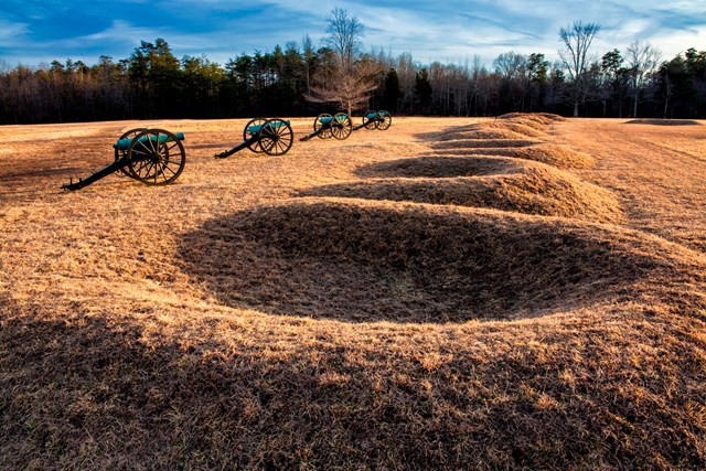
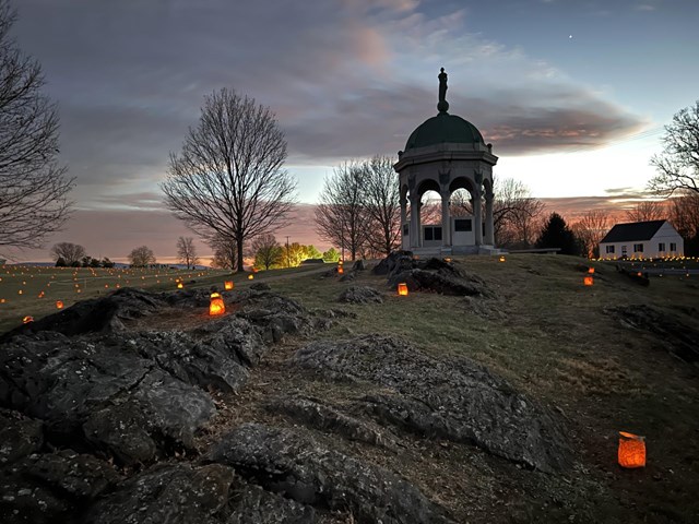
08Antietam: a battlefield from the paved tour roads
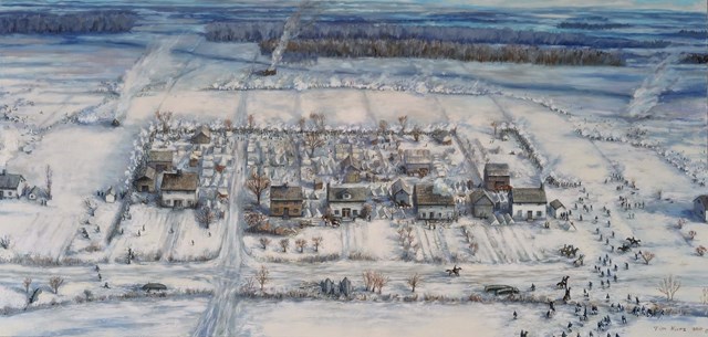
Antietam fees, hours and alertsAntietam is a quieter kind of road ride, with battlefield stops taking priority over mileage. NPS permits bicycles on paved park tour roads and parking lots. It explicitly prohibits riding on sidewalks, agricultural land and Snavely's Ford Trail. Those are meaningful boundaries: a footpath between two points of interest is not a bicycle connector just because it shortens the road.
Use the battlefield map and treat the ride as linked historic stops. Pull over safely before reading interpretation, and yield to walkers who may be focused on the site rather than traffic. Cyclists are subject to Maryland traffic law; riders under 16 need the helmet required by the park's cited Maryland rule. A road tour here is strongest when it lets you understand the distances between positions, not when you try to cover the battlefield fastest.
09C&O Canal: hard-packed dirt, not pavement
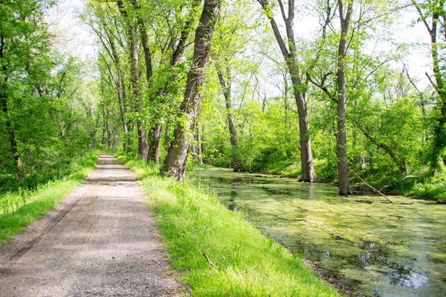
Chesapeake & Ohio Canal National Historical Park fees, hours and alertsThe Chesapeake & Ohio Canal is proof that the category needs interpretation. Its towpath is mostly hard-packed dirt, and after heavy rain it can be muddy. It is not a protected ribbon of pavement for skinny slick tires. NPS permits bicycles on the towpath, Western Maryland Rail Trail, Capital Crescent Trail and Berma Road, but not hiking trails or off-trail. The towpath has a 15-mph maximum and requires riders to yield to pedestrians, horses and mules, ride single file and walk bikes across aqueducts and through tunnels.
This is a long-distance trip if you want one, with hiker-biker camping and canal towns along the way. But it is also easy to choose an out-and-back section from a known milepost. Water is a planning issue: NPS describes seasonal well availability, but hiker-biker campsite wells are non-potable and need filtering, chemical treatment or boiling. Carry backup water and repair tools. E-bikes are allowed where traditional bikes are allowed; the park does not offer charging along the towpath. Research the exact section and return before committing to a long day.
10Cuyahoga Valley: twenty park miles on an old canal route
Cuyahoga Valley fees, hours and alertsCuyahoga Valley has 20 miles of the Ohio & Erie Canal Towpath Trail inside the national park, part of a 101-mile regional route. NPS describes a flat surface of compacted crushed limestone with some paving. That is friendly to many bikes, but it is still not an all-asphalt road ride. The path is shared with walkers, runners, families and, in some sections, horses. The bicycle speed limit is 15 mph; riders yield to all users and everyone yields to horses.
Use the NPS trailhead distance table to pick an out-and-back, or explore a one-way plan with the Cuyahoga Valley Scenic Railroad's seasonal bicycle service. The latter is not a guaranteed return: NPS says only some trailheads have train stations and points riders to current Explorer ticket prices, service days and the 40-pound bicycle limit. Check the train schedule first, then the trail closure alerts. Class 1 and 2 e-bikes are permitted on the towpath; the East Rim mountain-bike trails have a narrower Class 1 rule. This is a canal ride, not permission to turn onto every trail branching from it.

Choose the route your bike and group can actually ride
For a relaxed paved outing, start with Yosemite Valley's bike-path map or Shark Valley's fifteen-mile loop, while checking current operations. Cades Cove's vehicle-free Wednesday is special because of *when* it happens; on another day it is a shared motor road. None of these is a license to ignore other people on the route.
For traffic-ready road cyclists, Rim Drive and selected Blue Ridge Parkway sections offer demanding scenery but also steep grades, narrow sightlines and vehicle exposure. Acadia's Park Loop Road is another traffic ride, not a hidden bike path. Reflective gear and working lights help; park-specific requirements, weather and road status come first.
For mixed-surface bikes, Acadia's crushed-stone carriage roads, C&O's dirt towpath and Cuyahoga's limestone towpath open longer, quieter possibilities. Surface changes with rain and maintenance. Do not assume the route suits your tires or traction needs. If you want technical off-road riding, use the mountain-biking directory and then check each park's trail designations.
For a one-way itinerary, verify the way back before departure. A railroad bike shuttle has service days, a Colonial Parkway construction detour may not suit a bicycle, and a remote high-country road can close in weather. Download maps where service is weak and carry enough supplies to reverse the route under your own power.
Rules are local, not universal
E-bike classes vary sharply: Acadia's carriage roads allow Class 1, Cades Cove allows Classes 1 and 2, and Cuyahoga's Towpath allows Classes 1 and 2 while its East Rim mountain-bike trail permits Class 1. Entry and parking obligations vary too: a cyclist needs a pass on Acadia's Park Loop Road, while a driver who leaves a vehicle at Cades Cove over fifteen minutes needs a Smokies parking pass. An event road may be closed to cars, but a construction road can be closed to everybody. Before a ride, check the specific park page for the route, date and bike you have.
All 99 parks with road biking
Below is every Park Service unit that lists road biking. Click through for fees, hours and alerts, then read the current map and access notice for the ride you want.
Free to enter Charges an entrance feePoints are the Park Service reference point for each unit, not a boundary.