A mountain bike on a dirt road is not the same thing as a mountain-bike trail. Some parks have purpose-built singletrack; some allow bicycles only on roads; one celebrated desert loop takes most riders three or four days and a backcountry permit. Knowing which kind of ride a park actually offers is the difference between a good trip and a long walk back.
The Park Service lists 38 units with mountain biking, from rolling woodland loops in Kentucky to exposed gravel above the Pacific. These nine earn their place for the quality and range of the riding itself. The ranking is an editorial choice, not a promise that any particular trail is dry, open or legal for your bike on the day you arrive. Check the park's current conditions, then enjoy one of the best ways to see a park at exactly the right speed.
The nine best mountain bike rides in the national parks
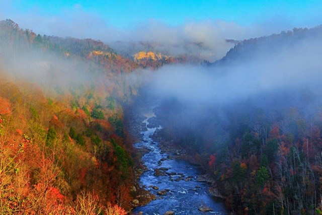
01Big South Fork
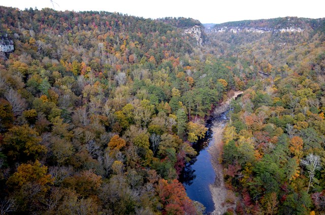
Big South Fork fees, hours and alertsBig South Fork has trails actually designed and maintained for mountain bikes, which is rarer in the Park Service than you might think. Grand Gap Loop runs 6.4 miles of mostly smooth singletrack past rock shelters and river-cliff overlooks; the park suggests riding counterclockwise and walking your bike out to the overlooks. The adjoining John Muir Trail section toward Station Camp adds 7.5 miles, and shorter options like the 3-mile West Bandy Trail and the 5.3-mile Duncan Hollow Loop cover different skill levels honestly. One caution: the park names specific trails where bicycles but not e-bikes are allowed, so a motor does not go everywhere your legs can. Pick up the park's bike map at a visitor center before you start.
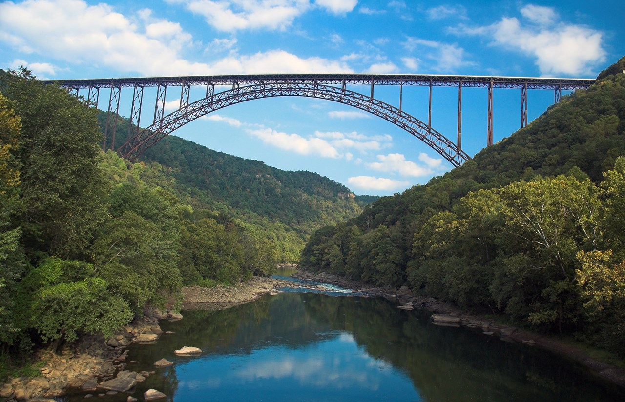
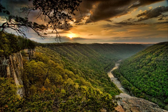
02New River Gorge
New River Gorge fees, hours and alertsAt New River Gorge, the Arrowhead system stacks four mapped loops into 12.8 miles near Craig Branch, and each rides differently. Clovis is the easy-to-intermediate first taste, with wider tread and small rocky patches. Adena swoops along at a low grade with wide turns. Dalton narrows down, tightens the corners and adds modest climbs, and LeCroy finishes the set with narrow tread and a rocky bridge. Because the loops connect, the park's map matters more than the mileage total; plan your combination from the trailhead, not from the parking lot. E-bikes are permitted on Stone Cliff Trail only among the park's bike trails, limited to classes 1 and 2, so a conventional bike allowed on Arrowhead does not imply a powered one is.
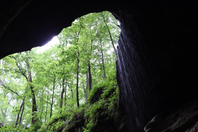
03Mammoth Cave
Mammoth Cave fees, hours and alertsMammoth Cave gives you two different off-road days in one park. The nine-mile Mammoth Cave Railroad Bike and Hike Trail follows part of the former rail line that once brought visitors to the caves, with historic waysides along the way; it is a shared trail, so expect walkers and dismount at road crossings. For real singletrack, Big Hollow splits into a 5.3-mile north loop and a 3.7-mile south loop, with a connector toward Maple Springs and more than ten miles of forest and rock outcrops between them. Start at the Maple Springs Campground trailhead and pick the loop you have daylight for. Trails not named as bicycle routes are closed, and riders yield to hikers and horses on shared sections.
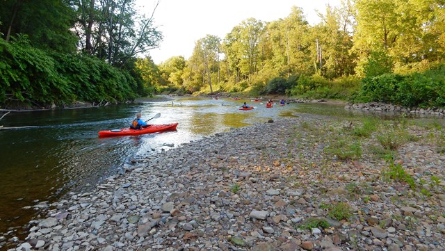
04Cuyahoga Valley
Cuyahoga Valley fees, hours and alertsMost cyclists at Cuyahoga Valley ride the Ohio & Erie Canal Towpath. It is a good ride, but it is not the mountain-bike system. The park's four East Rim trails are built for intermediate riders, with varied terrain, real obstacles and Class 1 e-bikes permitted. That permission does not travel in reverse: classes 1 and 2 can use the Towpath, but the flatter towpath rules say nothing about the singletrack. Mud and maintenance can close East Rim trails with little notice, so check the park's current trail map and conditions before driving to the Boston Heights area. If your group mixes skill levels, the Towpath makes the better shared outing and the East Rim makes the better story.
05Golden Gate
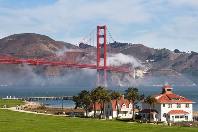
Golden Gate fees, hours and alertsThe Golden Gate National Recreation Area's Dias Ridge Trail climbs above Muir Beach through coastal chaparral and grassland to about 800 feet, a 3.1-mile out-and-back shared with hikers and horses. On a clear day the crest delivers the Pacific, the Marin Headlands and Mount Tamalpais in one view, which is a lot of reward for three miles. The catch is that three miles of climbing and exposure is not three flat miles, and there is no drinking water on the trail. Poison oak is part of the landscape, dogs are not allowed, and coastal fog, wind or heat can change the effort entirely. Park at Muir Beach, stay on the designated tread and give the horses room.
06Saguaro
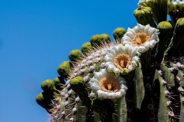
Saguaro fees, hours and alertsSaguaro divides its riding by district, and the rules do not transfer. In the eastern Rincon Mountain District, the eight-mile Cactus Forest Loop is mostly paved and shared with cars, while the thin, eroded Cactus Forest Trail and the Hope Camp Trail are the authorized dirt options. In the western Tucson Mountain District, the six-mile Bajada Loop is gravel, and bikes are allowed on its roads but not on the trails around it. The Golden Gate Multi-use Trail, a former road closed to cars, adds a wide-gravel option on the west side. Whichever district you choose, the Sonoran Desert makes an early start and serious water the real plan. The saguaros are in no hurry. You should not be either.
07Big Bend
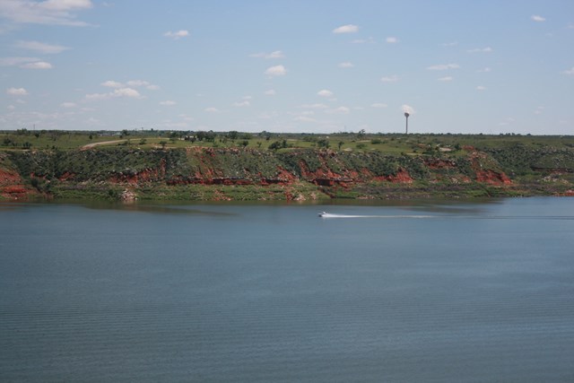
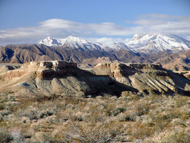
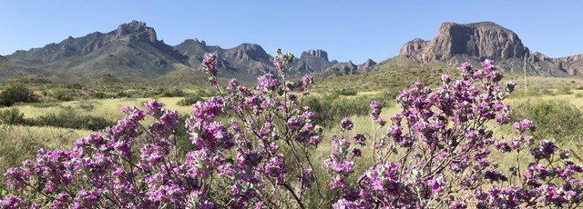
Big Bend fees, hours and alertsBig Bend allows bicycles, including e-bikes, on park roads and prohibits them on all trails, so the riding here is road riding in the grandest sense. The 26-mile Old Ore Road is the park's serious unpaved route: a rough, rocky surface, views west to the Chisos Mountains and not much else. The park's current notice describes an unmaintained surface in very poor condition, suitable only for genuine high-clearance 4WD support vehicles; an ordinary rental crossover does not qualify as your sag wagon. The distance is one way, roadside camping requires permits at designated sites, and desert heat and isolation make this an expedition, not an afternoon. Shorter dirt-road options like Grapevine Hills offer the same landscape at a smaller commitment.
08Canyonlands
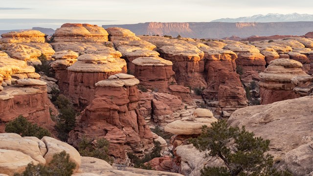
Canyonlands fees, hours and alertsAt Canyonlands, bikes stay on designated roads and there is no singletrack in the park. What there is instead is the White Rim Road: roughly 100 miles around and below Island in the Sky, with most bicycle groups taking three to four days. The descents and climbs at Shafer Trail, Murphy Hogback, Hardscrabble Hill and Mineral Bottom are exposed, storms can shut the whole loop, and there is no potable water along the route or at the campsites, so the park strongly recommends a 4WD support vehicle. Every trip needs a permit: day-use for a one-day ride, overnight for multiday travel. Bicycles, including e-bikes, share the road with four-wheel-drive vehicles. Spring and fall permits can be competitive, so research the permit first and build the water and campsite plan around it.
09Crater Lake
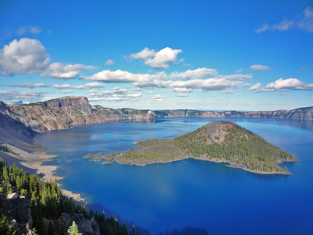
Crater Lake fees, hours and alertsCrater Lake offers eight miles of unpaved, vehicle-free Grayback Drive, and the park says directly that it has no singletrack mountain-bike trails and no bikes on hiking trails. That honesty makes Grayback easy to understand: a quiet dirt-road ride through high-country forest, not a technical destination. Check seasonal access before you go, because a road closed for snow or maintenance is not made open by being car-free the rest of the year. The 33-mile paved Rim Drive is a different and spectacular ride shared with vehicles when it opens, and fat-tire bikes are prohibited on the park's winter trails. Come for the Grayback quiet; stay for the caldera.
When to go: a mountain-bike year in the parks
Spring is the desert's last call and the mountains' mud season. Big Bend and Saguaro are still rideable before the heat builds, while woodland singletrack in Kentucky, Ohio and West Virginia can be closed or simply wrecked by wet tread. A dry forecast matters more than a warm one.
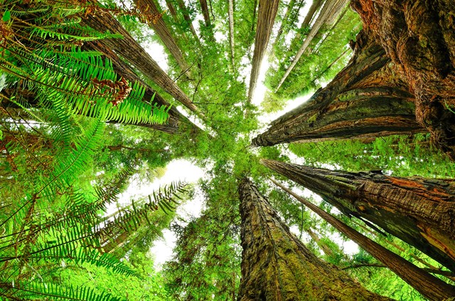
Summer belongs to the high country and the coast. Crater Lake's Grayback Drive and the Redwood forests ride best once the snow lets go, and Golden Gate's Dias Ridge stays cool when inland valleys bake. Desert parks shift to dawn starts or no start at all. Carry more water than the mileage suggests.
Fall is the best overall season. The East Rim and Arrowhead trails run through color, desert roads return to sanity, and White Rim permits are still competitive because everyone else knows this too. Book Canyonlands early and watch for storm closures after summer monsoons.
Winter flips the map. Big Bend, Saguaro and Death Valley have their prime months while northern singletrack sleeps under snow or freeze-thaw closures. Short days shrink your margin on long dirt roads, so plan the turnaround time before the start time.
How to get the ride you actually want
- 1
Ask which kind of riding the park really has. A designated bike trail, a road open to bikes and a foot trail are three different things. Big South Fork and Mammoth Cave have named singletrack; Canyonlands and Big Bend offer backcountry roads; Saguaro's rules change between its two districts. The park's own biking page settles it.
- 2
Match the e-bike to the trail, not the brochure. New River Gorge limits e-bikes to Stone Cliff among its trails, Cuyahoga allows Class 1 on the East Rim, and Big South Fork excludes e-bikes from some named bike trails. A rental marketed as a mountain bike may be an unauthorized e-bike on your route. Check the park's compendium or posted notice when the class matters.
- 3
Get the map before the ride. Arrowhead's loops connect, Big Hollow splits in two, and the White Rim has no bail-out points worth the name. Download or carry the park's current map for junctions, parking and direction of travel.
- 4
Plan water and turnaround first. There is no potable water on the White Rim or the Old Ore Road, and none on Dias Ridge. Decide where you will turn around before you start, and leave room to do it without trespassing onto a closed trail.
- 5
Yield like you mean it. Every ride on this list is shared with hikers, horses or vehicles somewhere. The overlooks at Big South Fork are for walking to, the horses on Dias Ridge have the right of way, and the White Rim's trucks cannot stop quickly on a loose descent.
A short history of mountain biking in the parks
The sport was born on public land. In the early 1970s, riders in Marin County, California, started bombing down Mount Tamalpais on prewar balloon-tire bikes, wearing out coaster brakes so fast the hubs had to be repacked with grease. On October 21, 1976, ten of them lined up for the first Repack race, a time trial down 1,300 feet of fire road, and the winner was reportedly the only rider who did not crash. Twenty-some races later, the klunker had a name, an industry and an attitude. The first mass-produced mountain bike arrived in 1981, and the fire roads of Marin, minutes from what is now Golden Gate National Recreation Area, became the sport's creation story.
The Park Service spent the next decades deciding where wheels belonged. The answer turned out to be: on roads, almost always; on trails, only where a park says so by name. That is why the riding on this page ranges from Grand Gap's hand-built singletrack to a hundred-mile jeep road, and why no park's general welcome extends to the trail you happen to be standing on.
The newest chapter is the motor. In August 2019 the Park Service announced a national e-bike policy directing parks to allow low-speed electric bikes wherever traditional bicycles go, while keeping each superintendent free to set tighter local rules. The result is the patchwork you see above: Stone Cliff yes, Arrowhead no; East Rim Class 1, Towpath Class 2. The bikes keep getting easier to ride. The rules still reward the rider who reads them.
All 38 parks with mountain biking
Below is every Park Service unit that lists mountain biking. Click through for each park's fees, hours and alerts, and read the park's own biking page for the routes that are actually open to bikes. A listing is not permission for an unnamed trail, a guarantee of dry tread or an assurance that your e-bike class is allowed.
Free to enter Charges an entrance feePoints are the Park Service reference point for each unit, not a boundary.