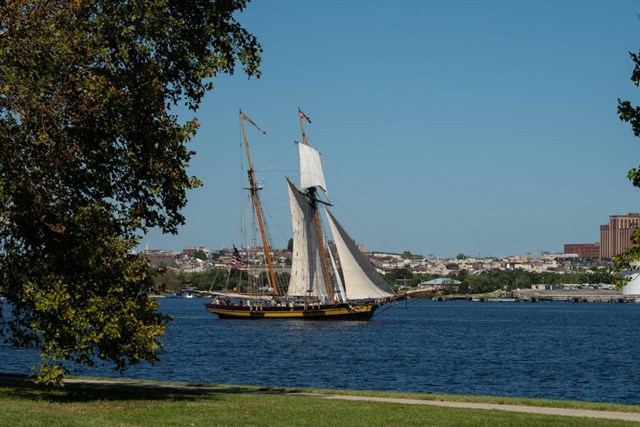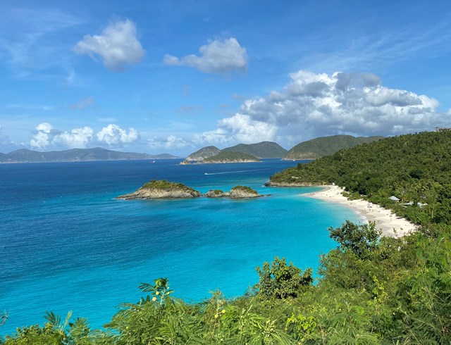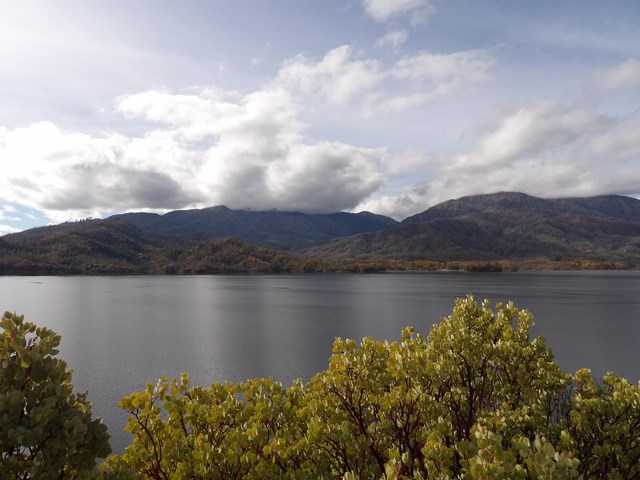
Sailing changes the pace of a park visit, not the need for a plan. The water may be Lake Superior between islands, a reef-lined Florida bay or a high reservoir whose launch ramps move as the lake falls. The Park Service lists 21 units with sailing, including broad waterways and historic trails. Check for an actual launch or marina and the rules for landing before you go.
These ten waters show why choosing the *body of water* comes before choosing a park name. A dock can be first-come, a mooring may allow only four hours, a lake may require an invasive-species inspection, and a good-looking shortcut can be too shallow for your draft. Check current nautical charts, the forecast and the exact park access notice before departure. The full Park Service list follows the guide.
Ten park-water itineraries to investigate
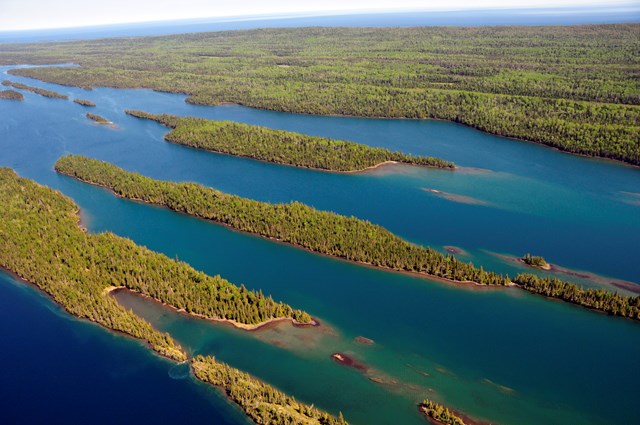
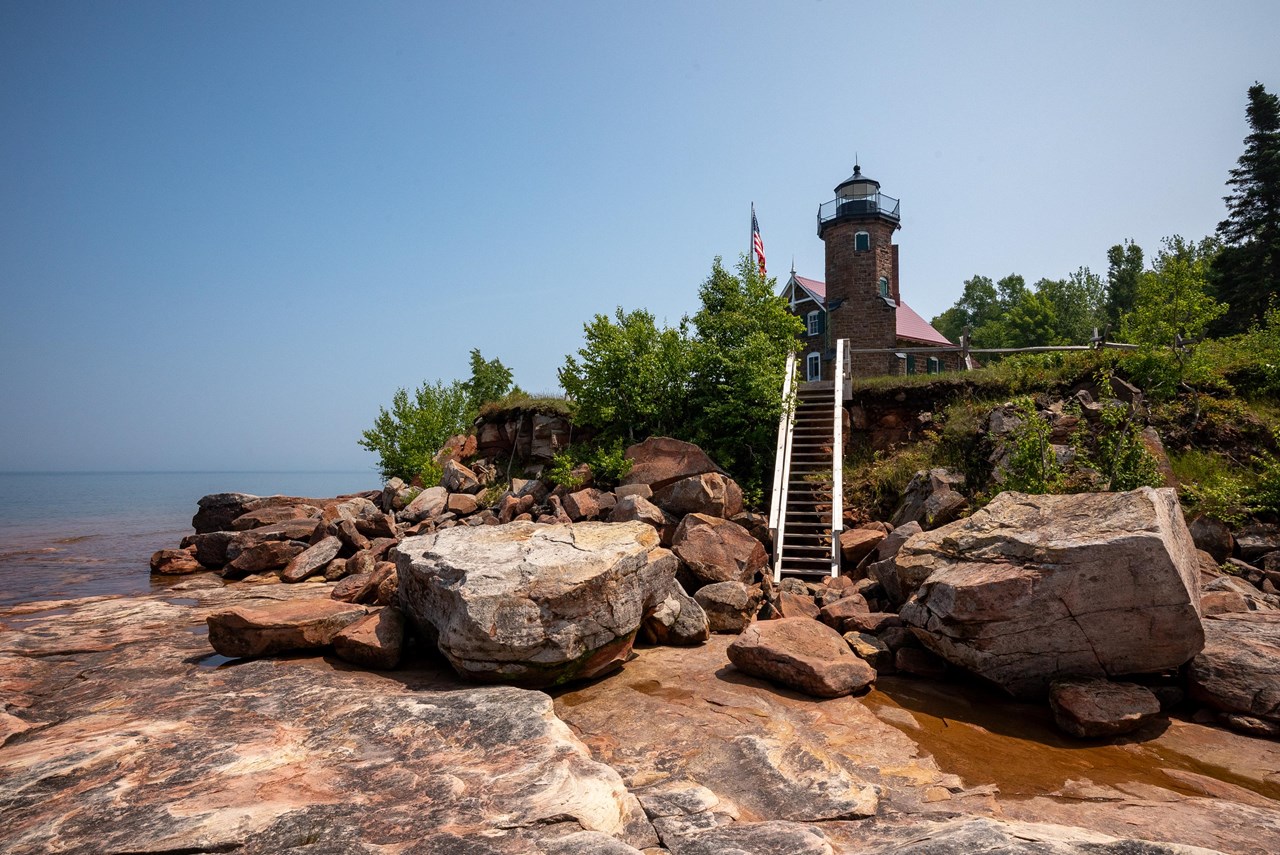
01Apostle Islands: Lake Superior sets the schedule
Apostle Islands fees, hours and alertsApostle Islands National Lakeshore explicitly names sailing among its boating opportunities. The islands' bays, docks and anchorages offer genuine route choices, but Lake Superior brings very cold water, fog, sudden squalls and open crossings. NPS recommends current NOAA lake charts 14973 or 14966, a compass, anchor, VHF radio, weather information and a float plan. It does not recommend open boats under 16 feet for inter-island travel. A summer forecast is not a guarantee the return crossing will be easy.
Public docks exist on 12 islands. Some space is reserved for NPS and excursion vessels; the rest is first-come, not an overnight reservation. NPS says docked boats may not be left unattended over 24 hours and overnight docking fees apply. Carry extra food and water because island docks are not supply stores. At anchor, the park recommends the lee of an island, at least seven times the deck-to-bottom distance in anchor-line scope, and an anchor light from sunset to sunrise. Wind can push boats aground even in a pretty bay. Seasonal bird nesting closures keep vessels 500 feet from Gull and Eagle Islands and the northwest Otter Island shore from May 15 through September 1, so chart and park rules should shape the route before the wind does.
02Biscayne: a sailboat's anchor can damage a reef
Biscayne fees, hours and alertsBiscayne National Park covers more than 250 square miles of water along Florida's islands and reef. NPS points boaters to nearby marinas, NOAA chart 11451, tide predictions and an interactive boating map. Much of the water is shallow; clear color is not proof of depth. Go slowly near marked zones and keep a lookout for wildlife and other boats.
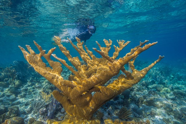
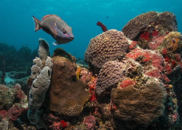
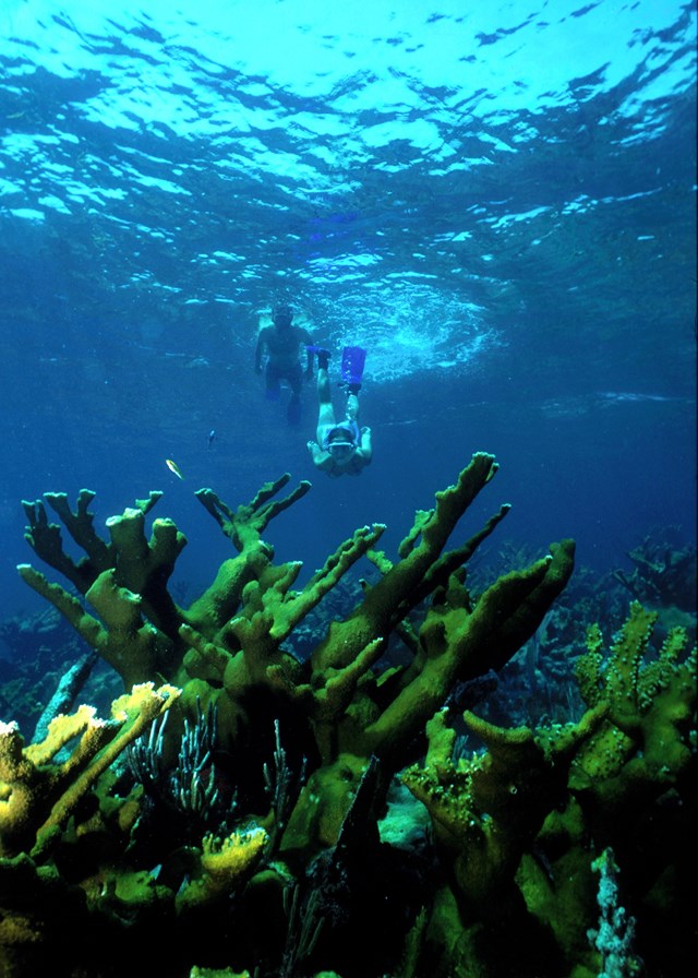
At popular reefs, use an NPS mooring buoy when available. The park's buoys are generally for vessels up to 45 feet, for no more than four hours. Inspect the buoy and line yourself; the park does not guarantee its holding. Do not anchor within 300 feet of one. If none is free, anchor in sand downwind of the reef, with enough scope that chain and line cannot sweep across coral. That is an ecological rule with a practical consequence: a suitable anchorage for your particular sailboat may be farther away than the spot you wanted to snorkel. Check slow-speed areas, current reef closures and weather before casting off.
03Voyageurs: chart a northern lake network
Voyageurs fees, hours and alertsVoyageurs National Park explicitly includes sailboats in its lake-navigation guidance. Four major lakes, Rainy, Kabetogama, Namakan and Sand Point, connect islands and visitor destinations across a park with 84,000 acres of water, more than 500 islands and 655 miles of undeveloped shoreline, according to NPS. It is inviting but intricate. Marked routes have red and green channel aids, yet not every submerged rock is marked and some aids can shift with water levels.
NPS advises carrying reliable navigation charts and not relying solely on GPS. Minnesota boating laws apply, including registration and life-jacket requirements. Plan each day's destination with wind, channel widths and a return or shelter option in mind. The park's interior lakes have additional invasive-species protections and do not allow privately owned watercraft; do not apply a main-lake route to an interior lake just because a map shows water nearby. A sailboat permitted on one broad lake is not a universal key to every inlet.
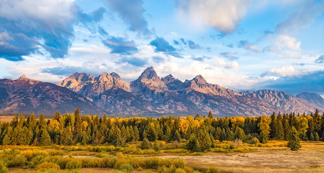
04Grand Teton: Jackson Lake alone for sailboats
Grand Teton fees, hours and alertsAt Grand Teton National Park, NPS says sailboats and windsurfers may be used only on Jackson Lake. This is a direct boundary, not a suggestion that Jenny Lake or the Snake River might work for a smaller sail. The Snake River admits only specified human-powered craft and no motors. Pick a Jackson Lake launch and assess its actual weather, shoreline and boat traffic.
All boats entering the park must stop for an aquatic-invasive-species inspection, and Wyoming requires a valid AIS decal for covered watercraft. Park permits and decals are separate checks. NPS requires an appropriate personal flotation device for each person and navigation lights between sunset and sunrise. If planning to camp from the boat, use designated numbered lakeshore sites rather than assuming any beach is available. A wind shift against the Tetons can make the crossing back to your launch a different outing from the glide out, so keep the day's range conservative.
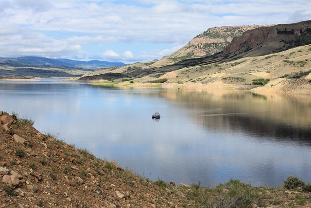
05Curecanti: Blue Mesa, a high lake with fast-building weather
Curecanti fees, hours and alertsCurecanti National Recreation Area manages three reservoirs, but Blue Mesa is the large-water choice for most boating: 96 miles of shoreline and long arms reaching into canyons. The NPS specifically requires sailboats, motorized craft and trailered vessels to undergo invasive-species inspection before launch. The smaller Morrow Point and Crystal reservoirs have different, much more constrained access, so a generic "Curecanti sailing" label should not send a trailered sailboat to their launches.
Afternoon winds and storms can turn Blue Mesa hazardous quickly, and the water stays cold through much of the season. Check both wind and inspection-station hours before choosing a ramp. NPS lists a $20 seven-day and $40 seasonal launch permit for motorized vessels on its boating page; do not apply that motorized-vessel fee automatically to a nonmotorized sailboat without confirming its class and current rules. The inspection requirement still matters. This is a reservoir where the viable return leg and water temperature deserve as much thought as the route out.
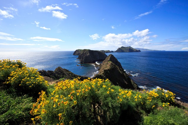
06Channel Islands: a sea crossing, not a dock reservation
Channel Islands fees, hours and alertsChannel Islands National Park offers private-boat access across the Santa Barbara Channel. NPS stresses that this is for experienced, properly equipped boaters: strong wind, shifting swell, fog, currents and busy shipping lanes can complicate a passage. There are no public moorings or all-weather anchorages around the islands. The park recommends leaving someone aboard while others go ashore. A sailboat's anchor spot and ability to depart safely must be decided before anyone plans a hike.
Landing authority changes by island and ownership. NPS's eastern portion of Santa Cruz generally differs from The Nature Conservancy's western 76%, where a separate permit is required. San Miguel has specific landing and ranger-escort rules. As checked September 27, 2026, Santa Rosa had limited day use and closed burned areas during wildfire recovery, with no overnight visits allowed under the then-posted alert. A general island boating page does not override those temporary closures. Check the island-specific access and landing notice on the day, file a float plan and give weather the final say.
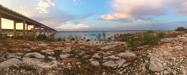
07Lake Mead: rising and falling shoreline logistics
Lake Mead fees, hours and alertsLake Mead National Recreation Area encompasses Lake Mead and Lake Mohave across Nevada and Arizona. Large water may look forgiving to a sailor, but NPS warns that years of low water have reshaped shorelines and made launch-ramp extensions difficult. Use its current conditions to verify the *specific* ramp that can take your vessel and trailer, not just that boating is listed for the park.
The two-state setting means applicable state boating laws and park regulations need checking together. A launch may be open for some craft while inadequate for your draft or trailer. Obtain a current chart, inspect underwater hazard warnings and have a second way to reach shore if wind and water level change. NPS marinas may offer different rental craft, but a park listing does not establish a sailboat rental or slip on your date; confirm with the operator rather than promising one.
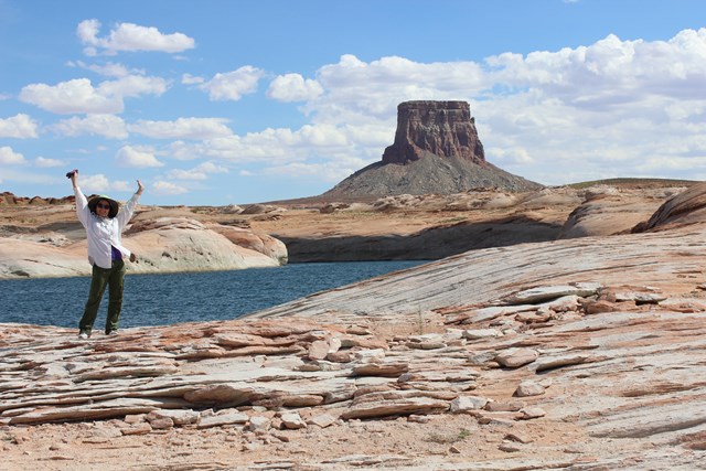
08Glen Canyon: Lake Powell's moving access points
Glen Canyon fees, hours and alertsAt Glen Canyon National Recreation Area, Lake Powell has desert-canyon walls and a shoreline that changes with lake level. NPS said its boating page listed three marinas, with two ramps for launching private vessels at the time checked; the present number and usable ramp for a given draft should be confirmed against its changing-lake-level report. Vessel fees apply, but the exact charge depends on boat and current pass rules.
Canyon walls reflect wakes and wind-driven waves, so a calm-looking arm can feel rough after traffic or an afternoon storm. NPS marks wakeless zones, including Antelope, Labyrinth and Lost Eden Canyons and Rainbow Bridge waters. Main-channel buoy numbers show *approximate* miles from Glen Canyon Dam, not a replacement for a chart. Bring required personal flotation devices, assess unmarked submerged hazards, and clean, drain and dry boat and anchor equipment because quagga mussels are present. A shoreline camp has separate sanitation rules; don't anchor or sleep in a developed marina or within Rainbow Bridge National Monument.
09Everglades: Florida Bay rewards a very shallow draft
Everglades fees, hours and alertsEverglades National Park presents a cautionary sail choice rather than a casual recommendation. NPS says Florida Bay averages less than three feet deep. Mud and seagrass banks separate shallow basins, and narrow passes are not all marked. A sailor has to know their boat's draft, read the water, carry NOAA chart 11451 and account for tide. A deep-keel sailboat can be fundamentally wrong for much of this geography. This is not the place to assume that a large blue area on a map is navigable water for your hull.
NPS's boating page points to a park-pass requirement for boaters and identifies shallow coastal waters and wildlife habitat as key planning constraints. Check current park boating rules, access and seasonal resource protections, then ask whether your specific vessel fits a defined route. An experienced shallow-draft sailor may find the bay rewarding; a visitor simply hoping to rent a sailboat should not infer that service from the activity card. Grounding on a seagrass bank harms the habitat and can end the outing.
10Bighorn Canyon: a long reservoir, two ends to plan separately
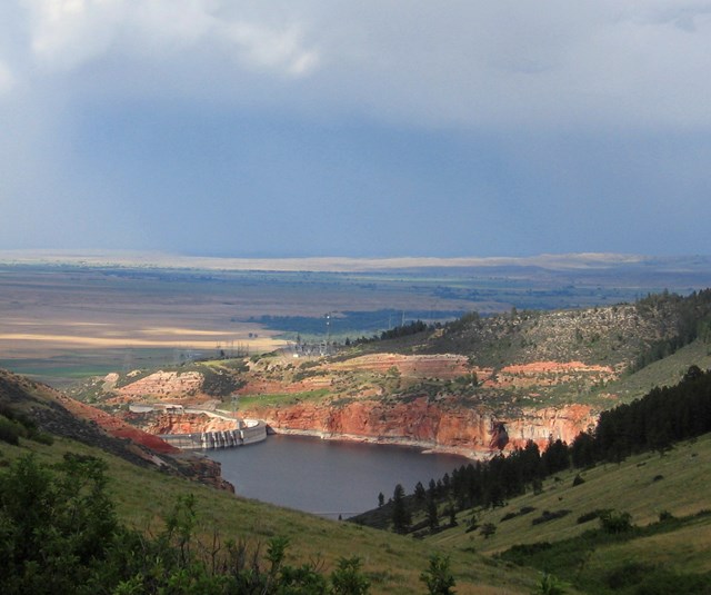
Bighorn Canyon fees, hours and alertsBighorn Canyon National Recreation Area has a boating map and distinct access points for Bighorn Lake. NPS lists the south end from Lovell, Wyoming, at Kane, Horseshoe Bend and Barry's Landing, and the north end from Fort Smith, Montana, at Ok-A-Beh. Marinas are at Horseshoe Bend and Ok-A-Beh. This is not a single shoreline road where changing the launch after arrival takes five minutes. Choose the lake section, ramp and return range deliberately.
The NPS boating guidance tells all users to minimize wake near smaller or less maneuverable boats, keep safe speed in narrow water and understand right-of-way. It does not promise a sailboat charter or that every marina can launch a sailboat of every draft. Confirm ramp level, vessel rules and marina services directly before a trailer trip. A canyon's walls can shelter one reach and accelerate wind in another; plan a route that leaves room to return under a changed forecast.

Plan from the vessel outward
Draft and chart first. Florida Bay's average depth under three feet is a hard constraint for many hulls; Biscayne's clear shallows and reefs demand charts and careful anchoring; Voyageurs has rock hazards beyond its marked channels. A phone map or a park activity badge cannot substitute for a current marine chart and local notices.
Access and permits second. Grand Teton permits sailboats only on Jackson Lake and requires AIS checks. Curecanti inspects sailboats and trailered vessels. Apostle Islands docks are largely first-come, not guaranteed. Channel Islands landings depend on island, owner and current closure. Lake Mead and Lake Powell launch ramps can change as reservoirs rise or fall. Call the relevant operator before committing to a rental, slip or passage.
Weather and a backup third. Lake Superior squalls, Blue Mesa's afternoon winds, the Santa Barbara Channel's shipping and fog, and reflected wake on Powell are distinct risks. Carry the right safety equipment and enough water and provisions to wait out weather or reverse course. Tell someone your float plan, then let conditions shorten it when needed.
The ten examples were checked against official NPS pages on September 27, 2026. Conditions, chart editions, temporary closures, water levels and regulations need a fresh look for your sailing date. Check current park rules to confirm that your particular boat belongs on the water.
All 21 Park Service units that list sailing
Below is every Park Service unit that lists sailing, including wide waterways, historic corridors and parks with different kinds of boating access. Identify a real launch, governing water, boat requirements and current conditions before treating any card as a trip plan.
Free to enter Charges an entrance feePoints are the Park Service reference point for each unit, not a boundary.