Amache National Historic Site
Amache, also known as the Granada Relocation Center, near Granada, Colorado was one of ten incarceration sites established by the War Relocation Authority during World War II to unjustly incarcerate Japanese Americans. Over 10,000 people, most American citizens, were incarcerated at Amache from 1942 to 1945.
Alerts
- CautionRoad Damage
Due to damage from heavy rains, some roads may require high clearance or 4x4 vehicles for passage. Please use caution when approaching and driving on roadways. Trailers over 30 feet not advised.
- InformationNPS ↗No Visitor Center
Currently, there is no visitor center for Amache National Historic Site. There is a museum in the town of Granada that is operated by Amache Preservation Society. Learn more at amache.org
- InformationLimited Cell Phone Coverage
Cell phone voice and data coverage is very limited in the park and surrounding area.
Fees & passes
Free. No entrance fee here.
No entry fee is required to visit Amache National Historic Site.
Hours
| Amache National Historic Site | Daily · Sunrise to Sunset |
When to go
September draws the most visits here and January the fewest, averaged over 2024 to 2025.
No campgrounds, no webcams or events in Park Service data. What is here comes from the official page. The rest lives there.
Checked nightly. Modules appear as soon as the Park Service publishes the data.
Explore
Things to do
- Amache Junior Ranger
Become at Amache Junior Ranger! Books are available at the Amache Museum.
Opens on the Park Service site - Amache Self-Guided Driving Tour
Amache Preservation Society has created a self-driving audio tour that leads visitors to 11 points of interest at the historic site.
Opens on the Park Service site
Films
National Park Service productions, public domain.
News
- Amache to Host Archeology Open House on Saturday, July 4th ↗2026-06-26
Amache National Historic Site is hosting the Amache Community Archeology Project’s Public Open House on Saturday, July 4th, 2026.
Map
Interactive map by the National Park Service
On the National Register nearby
- Granada Historic Commercial DistrictHistoric district · Granada · 1.4 mi
- Granada BridgeStructure · Granada · 3.2 mi
- Holly Santa Fe DepotBuilding · Holly · 11.2 mi
- Holly Ss Ranch BarnBuilding · Holly · 11.2 mi
Public land nearby
Distances are approximate. Wilderness Atlas publishes a center point and an acreage for each area rather than a boundary, so each area is treated here as a circle of the same size and the figure is the gap to that circle.
Guidebooks for Colorado's national parks
We earn a small commission if you buy through these links. It does not change what we list.
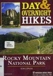
Titles come from Open Library's catalog, matched by subject.
Reference
Weather & climate
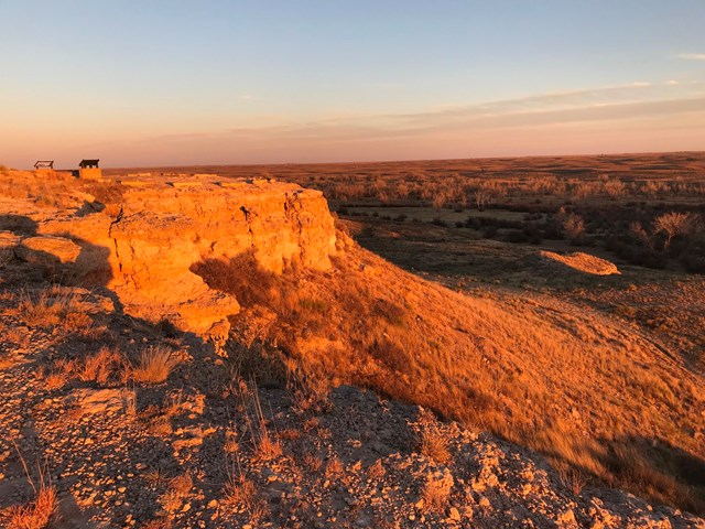
The site is located in Colorado on the High Plains, an arid, windy, and sunny environment. Temperatures and conditions can be extreme in this region, with hot, arid summers that include occasional thunderstorms and tornadoes, as well as cold and snowy winters.
Questions people ask
Does Amache charge an entrance fee?
No. Amache is free to enter.
Source: National Park Service
What are the hours at Amache?
Standard hours are Sunrise to Sunset, every day.
Source: National Park Service
Is anything closed at Amache right now?
3 active alerts as of October 14, 2026: Road Damage; No Visitor Center; and more.
Source: Alerts
How busy is Amache?
8,113 recreation visits in 2025, number 358 of 387 units that report visitation.
Source: Most visited parks
Is there cell service at Amache?
At the park's reference point, FCC coverage maps show AT&T 4G LTE. No reported coverage for Verizon and T-Mobile. Coverage inside the park varies by location.
Source: FCC Broadband Map
When was Amache established?
2022.
Source: Wikipedia
Follow this park
- Alerts feed (RSS)
- Every active Park Service alert for this unit, one item each, rebuilt with the nightly data refresh.
- Add dates to your calendar (.ics file)
- Fee-free entrance days that apply here and each published hours exception, as all-day events.
More in Colorado