The Park Service lists 9 units with orienteering. Prince William Forest and Catoctin have published courses near Washington, D.C.; elsewhere, map-and-compass navigation may be part of a broader backcountry trip. If you want an established course with control points, start with the two parks below.
Orienteering courses, ranked
01Prince William Forest Park: course maps and loaner gear
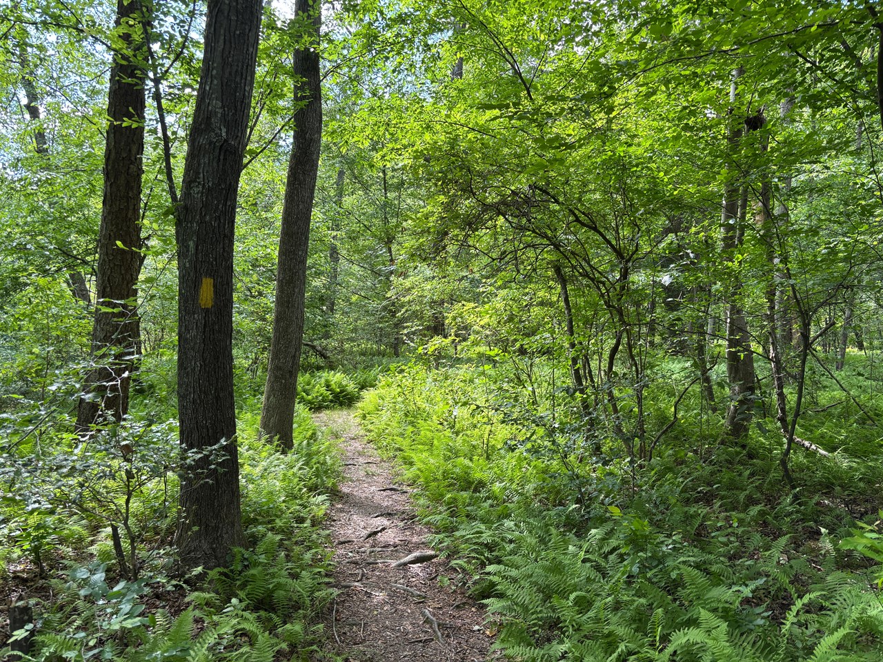
Prince William Forest Park fees, hours and alertsThe largest orienteering operation in the park system hides in the woods of northern Virginia, 35 miles from the Capitol. Prince William Forest Park maintains 30 permanent courses through its 15,000 acres, graded from beginner loops to expert legs - and the barrier to trying one is essentially zero. Course maps are free at the visitor center. The park lends you a compass on a signature. Groups can book a ranger-led introduction to the sport. Maps can't be photocopied or kept overnight, which is the whole ask.
The courses rotate between even and odd sets to give the woods a rest. Ask at the visitor center which maps are active when you visit.
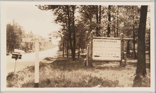
The pedigree is genuine. The courses were laid out in 1972 by a partnership of the Swedish Military Orienteering Team, the United States Marine Corps and the Quantico Orienteering Club - which fits, because the park spent World War II as an OSS training camp and Quantico's Marines still run these woods. If you have ever wanted to learn map-and-compass properly, this is the best free classroom in the national parks.
02Catoctin Mountain Park: one course, check first
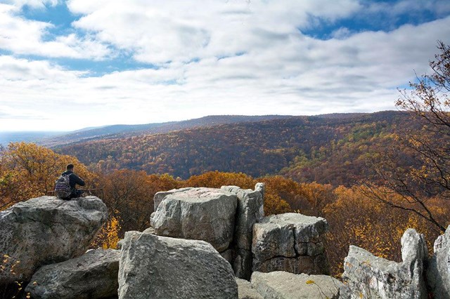
Catoctin Mountain Park fees, hours and alertsAn hour north, Camp David's home mountain keeps a smaller setup: a 10-point course near the visitor center, the first six points making a beginner loop of about a mile and a half, the last four a step up. Map and compass are loaned to course users, and groups reserve ahead at 301-663-9388 so two parties don't collide on the same points. The park recommends the winter season - November through mid-April - when the leaves are down, the ticks are quiet, and the contours read cleanly.
The park has warned that its course may be inaccessible while it is evaluated; another course has been closed pending repairs. Call the visitor center before driving up.
Beyond the courses
At other parks, you may use map-and-compass skills while traveling in the backcountry rather than following a marked orienteering course. Check each park’s backcountry guidance before planning a route; do not assume off-trail travel is permitted everywhere.
How to get started
- 1
Borrow before you buy. Prince William Forest lends the map and compass free, and a ranger-led intro beats any tutorial.
- 2
Go in the dormant season. Both D.C.-area courses work year-round, but winter is the sport's season: bare trees, readable terrain, no ticks. Catoctin says so outright.
- 3
Learn the vocabulary at the visitor center. A control point, a bearing, a contour line - ten minutes with the course map's legend is most of the sport.
A short history of the sport
Orienteering began in 19th-century Scandinavia as military training and became a competitive sport in Sweden in 1919 under Ernst Killander, who is still called the father of orienteering. Swedish compass innovations in the 1930s made it faster and more precise, and the sport reached the United States in 1946. The national parks' own chapter starts in 1972, when the Swedish military team, the Marines and the Quantico club cut the Prince William Forest courses that remain the system's flagship. The sport has never needed updating since: the map is still paper, the compass still has no batteries, and the woods still win most arguments.
All 9 parks with orienteering
Below is every Park Service unit that lists orienteering. Click through for fees, hours and alerts, and check for an established course before you go.
Free to enter Charges an entrance feePoints are the Park Service reference point for each unit, not a boundary.